Live view desk
A curated map of scenic, airport, and mountain webcams around Enumclaw and the Pacific Northwest and nearby Washingtonrecreation corridors.
Live webcam map
8 pinned
Camera frames are loaded from the original source providers. Availability and refresh timing are controlled by each camera owner.
These webcams are for general live views only. They are not a substitute for official aviation, emergency, road, weather, or recreation safety information.
Mountain
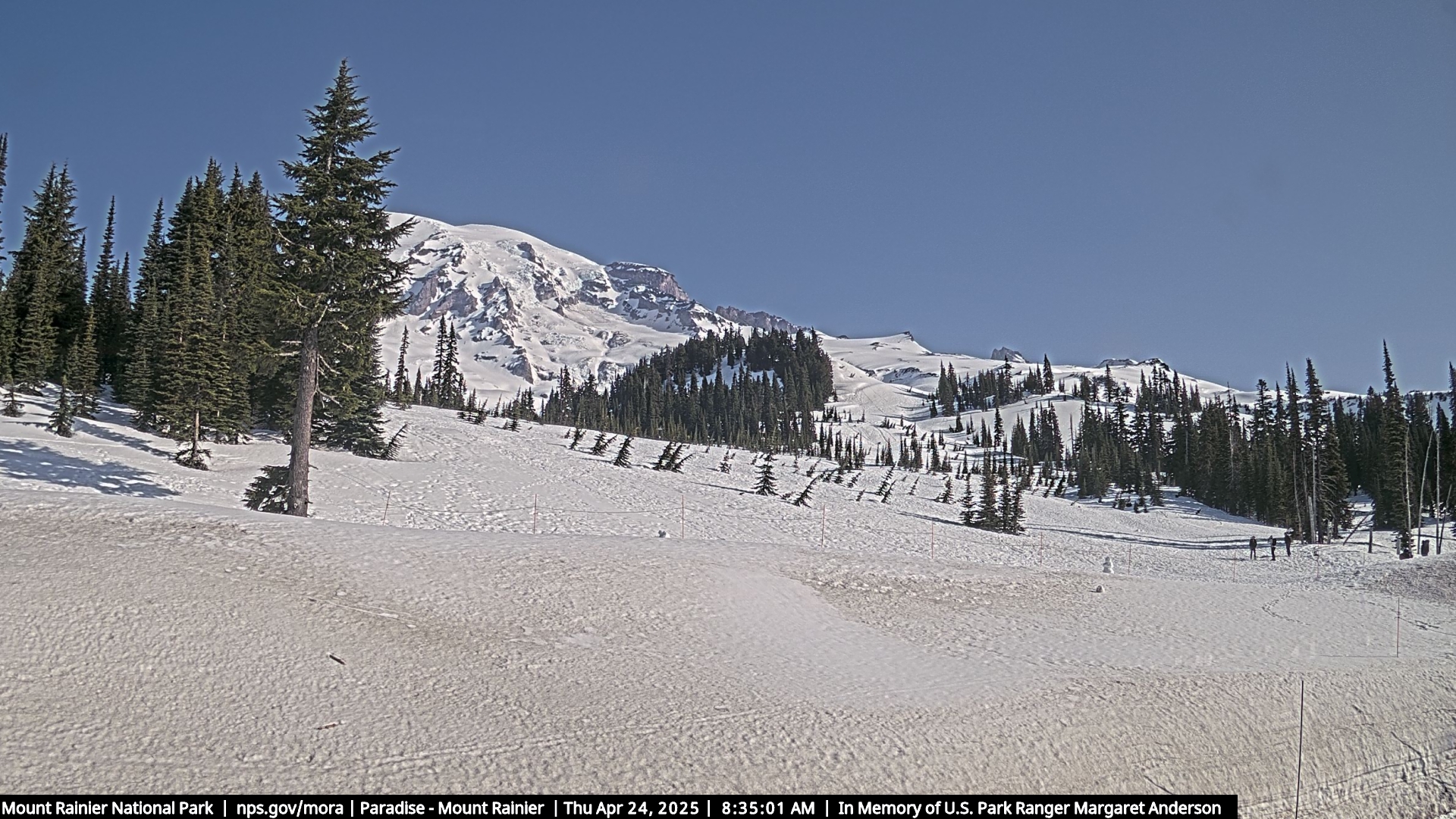
Mount Rainier Paradise Webcams
Official Mount Rainier webcam views from Paradise, including the mountain, Jackson Visitor Center, Tatoosh Range, and park air-quality camera.
Mountain
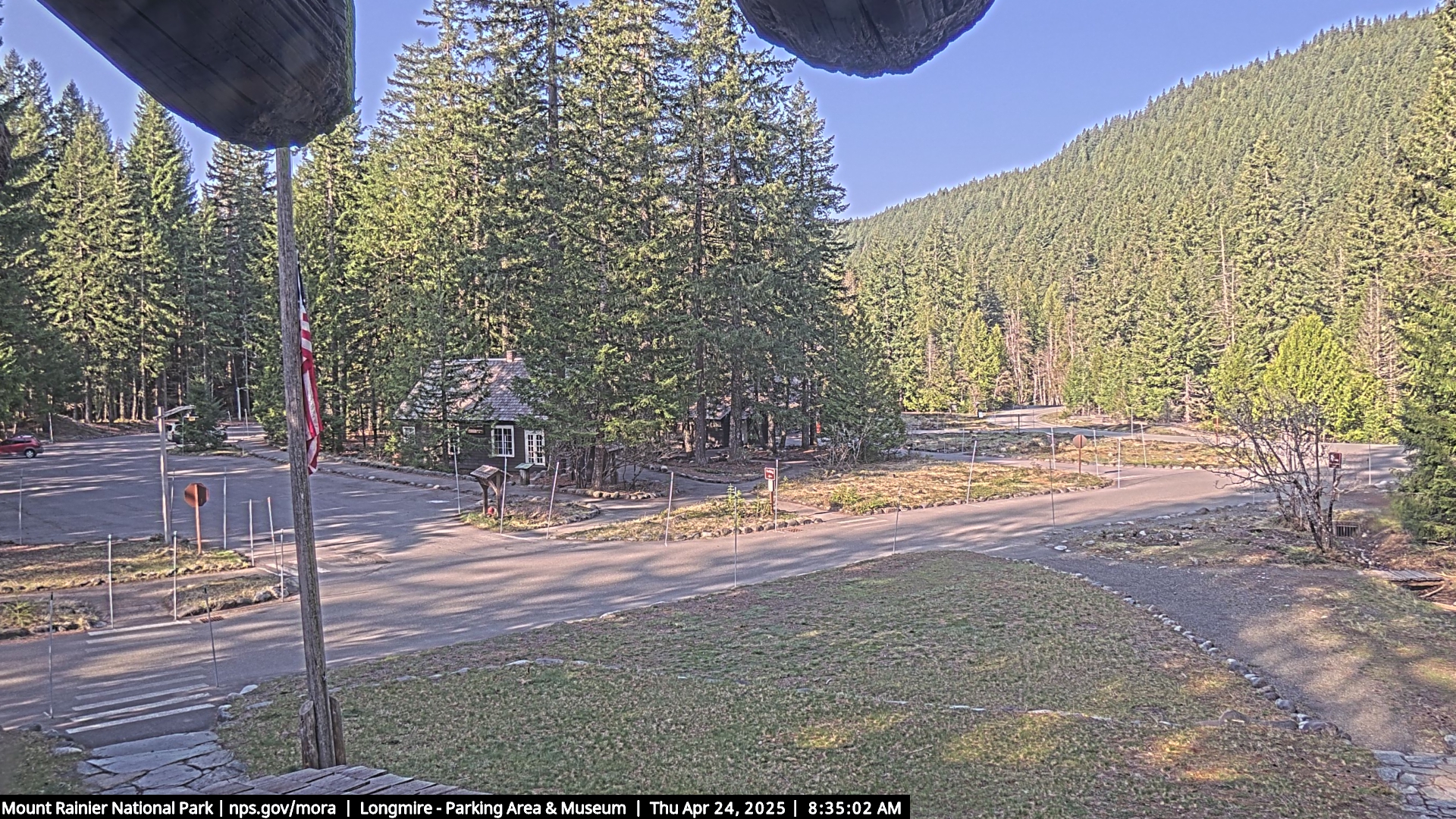
Longmire Webcam
Official Longmire webcam looking southwest from the Administration Building toward the road entering Longmire.
Airport
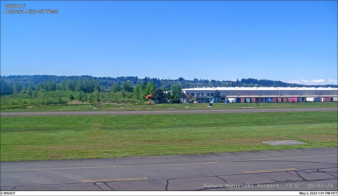
Auburn Municipal Airport Webcams
Airport cameras from Auburn, one of the closest WSDOT Aviation webcam sets to Enumclaw and the south King County foothills.
Regional
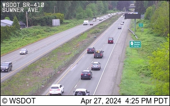
SR 410 at Sumner Ave
A live WSDOT camera on SR 410 west of Enumclaw, useful for a quick look at the lower corridor toward the plateau.
Regional
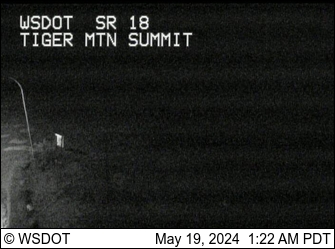
Tiger Mountain SR 18 Webcam
A WSDOT camera at Tiger Mountain on SR 18, useful for a foothills weather and road snapshot north of Enumclaw.
Mountain
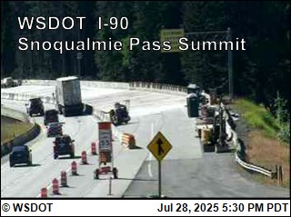
Snoqualmie Summit Webcams
WSDOT summit cameras from Snoqualmie Pass for a broader Cascade conditions check.
Mountain
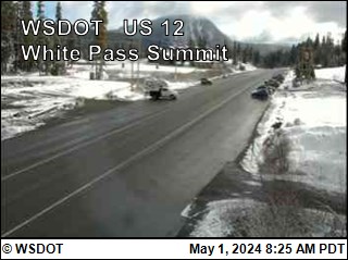
White Pass Summit Webcam
A WSDOT summit camera southeast of Mount Rainier, useful for a broader Rainier-area pass and weather snapshot.
Airport
Packwood Airport Webcams
Airport webcam views from Packwood on the south side of Mount Rainier.