

Local Color
Aerial Video Shows Fire Smoke in the Hills Above Greenwater
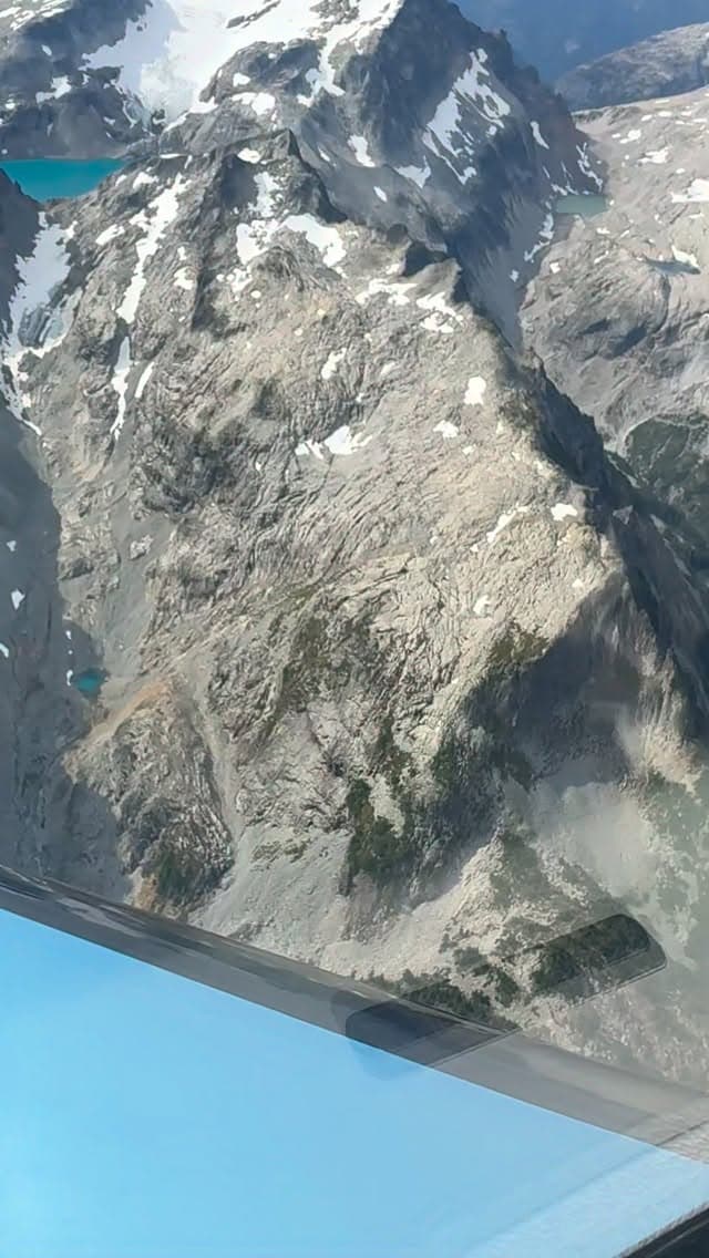
A morning aerial reel shows forest fire smoke near Chikamin Mountain and the northeast slope of Mount Rainier, with visibility dropping to five or six miles beneath the haze.
GREENWATER, WA—Smoke from active forest fires near Chikamin Mountain and the northeast side of Mount Rainier is visible in a new aerial reel shot over the Cascade high country on the morning of August 30.
According to @longbachnguyen, visibility above the smoke layer holds at better than ten miles, but drops to roughly five or six miles beneath it. The footage also takes in Pea Soup Lake, Mount Daniel, Overcoat Peak, Chimney Rock, and Rainier itself—a broad sweep of the terrain that sits just east of Enumclaw along Highway 410.
For residents who use the Greenwater corridor for commuting, hiking, or heading up to the mountain, the smoke layer is worth watching as fire activity continues in the surrounding high country.
Watch this Instagram Reel
Story label: Creator Feature
Featuring video from @longbachnguyen on Instagram
Original postIf a credit, link, image, embed, or removal needs another look, send us a note through the contact form.