

Feature
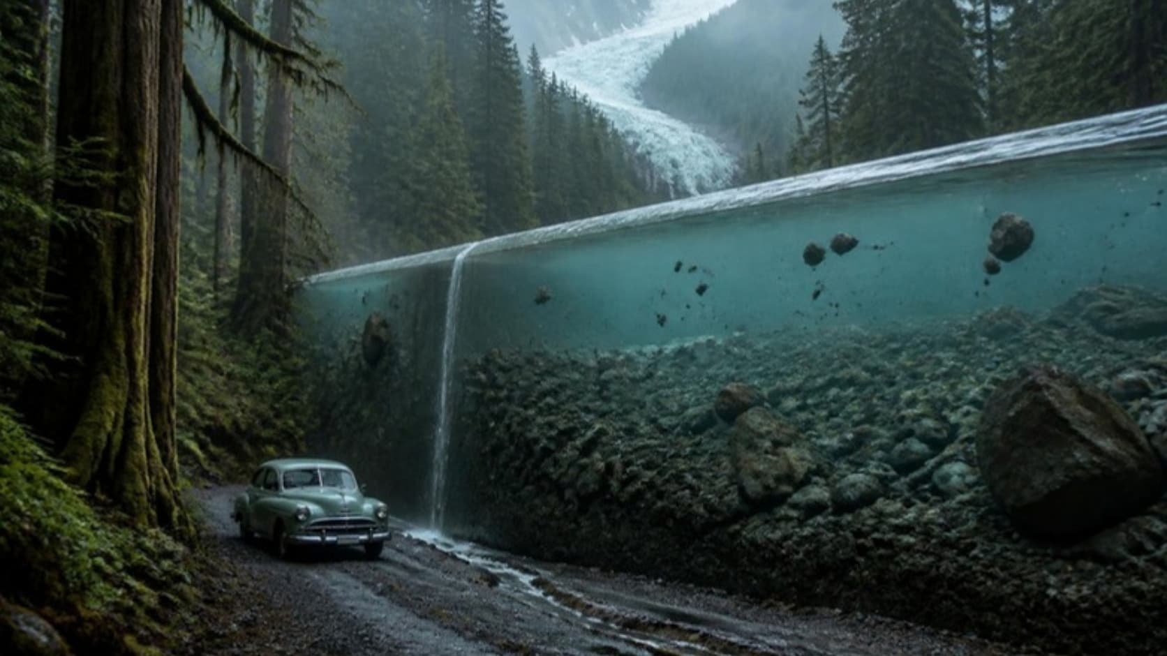
The Carbon River Road didn't sink. Its river rose as much as 31 feet and climbed over it.
Why Mount Rainier's Carbon River Road closed to cars: its riverbed rose up to 31 feet, a 1929 warning, the 2006 flood, the rain forest walk and 2026 access.
The Carbon River entrance to Mount Rainier National Park, in the park's northwest corner, is where the cars stop, at the park boundary. Past it, the old Carbon River Road runs five miles up the valley to Ipsut Creek, and since 2006 it has belonged to walkers and cyclists. The usual explanation is short: a big flood tore it up in November 2006 and the Park Service never put it back.
The Park Service's own planning files tell a stranger story. The road did not so much fail as get outvoted by geology. For eighty years it stayed more or less where it was built, while the ground beside it climbed. Its enemy was the river bed, which was rising.
A road to the glacier
The road was built for one sight. The park's 2010 environmental assessment, drawing on its cultural landscape inventory, says access to the Carbon Glacier was "the primary objective behind the design of the road." Surveyors in 1915 figured a seven-mile road to the glacier's snout would cost $100,000. Congress appropriated $150,000 in 1921, and by 1924 Superintendent Owen Tomlinson reported the road built to within a mile of the glacier, its last three miles a single lane.
It was also meant to be the northwest leg of a road all the way around Mount Rainier, part of the park's 1928 master plan. That loop was never closed. The glacier itself, the lowest-reaching in the lower 48, is a story this site told in its piece on the Willis Wall.
The river objected from the start. When construction resumed in 1923, the assessment notes, more money was requested to repair sections damaged by winter flooding, and spring floods did more damage the year after. Stephen Mather, the Park Service director, urged the road finished anyway.
The warning of 1929
Then the federal road engineers looked at it. On the first inspection by the Bureau of Public Roads, according to the same assessment, officials identified a problem the Park Service had overlooked: the road "would be prone to flooding in perpetuity, due to its naïve alignment in the river floodplain." They recommended abandoning it. Tomlinson passed the verdict to Mather in a letter dated February 25, 1929.
The road's supporters would not hear of it. T.H. Martin, general manager of the Rainier National Park Advisory Board, wrote to Asahel Curtis that month conceding the river location had been a mistake, then added: "We cannot see the plan abandoned, it would be unthinkable." Curtis wrote to Tomlinson afterward, in a sentence that reads now like an epitaph: "Had engineering knowledge been the guide rather than political expediency, the road would never have been located where it is."
The road stayed where it was.
Raising a road, raising a river
What followed was seven decades of holding the line. In 1933 a Civilian Conservation Corps crew built log cribbing along the bank near Falls Creek: 17,000 linear feet of logs, bound with wire and filled with 3,000 cubic yards of rock. Remnants were still there when the park surveyed the road in 2010. Upstream, floods in 1934 destroyed 3,000 feet of road near Cataract Creek, and in 1950 the road above Ipsut Creek was closed; a turnaround at the Wonderland trailhead later made that stretch a trail for good. The road to the glacier had already been shortened once.
In 1956, under the Mission 66 program, crews repaired flood damage and raised the road itself, "from two to five feet," the assessment says, replacing its log bridges with big metal culverts. It was a reasonable engineering answer. It was also a losing one.
The Carbon Glacier grinds up the mountain and delivers the rubble to the river, a process the park's floodplain study compares to "a giant conveyor belt." The river cannot carry it all away, so the gravel settles and the bed rises. Geologists call it aggradation. Between 1915 and 1971, by the park's figures, the Carbon rose about 0.56 feet a year, the highest rate in the park, roughly 31 feet in 56 years. At that pace, the two to five feet bought in 1956 amounted to less than a decade of the river's work. The park's project page gives the total: "Rocks and gravel have raised the bed of the Carbon River up as much as 31 feet since the Carbon River Road was constructed next to the river in the 1920s."
Repairs that lasted five weeks
The floods got bigger. The three largest on the Carbon's gauge at Fairfax all came in 16 years: 1990, 1996 and 2006, and all three damaged the road. After the February 1996 flood, a Federal Highway Administration hydraulics report concluded that "flood damage requiring maintenance should be expected every 5 to 10 years" and estimated the cost of keeping the road open at $1.1 million to $1.5 million over the next 70 years.
The park spent about $787,000 on the 1996 repairs alone. The work was finished in November 1998. On December 29, five weeks later, two medium-sized floods washed out 1,200 feet of the new road.
By then the park was writing its general management plan, signed in February 2002. It settled the road's fate in advance: the park would "close the Carbon River Road to private vehicles when there is a major washout of the road and convert the Ipsut Creek Campground to a walk-in / bike-in camping area." It did not say what would count as major. It only had to wait.
November 2006
Rain began around 1 p.m. on November 5, 2006, and kept on into the afternoon of November 7. Paradise recorded nearly 18 inches. The park closed for six months, the longest closure in its history, with damage the Park Service first put at more than $36 million, an estimate its 2010 assessment says was later revised to between $24 million and $27 million.
On the Carbon, the river replaced the road with gullies six to ten feet deep at Falls Creek and beyond Chenuis Falls. After another flood in November 2008, those gullies covered about 19 percent of the road's five miles. At Ipsut Creek the historic patrol cabin was undermined; the Park Service wrote that "a channel of the river flowed directly beneath it." The cabin was taken apart the next fall and put in storage. A Federal Highway Administration damage survey found that "in some places, the river is as high as or higher than the road." Laser mapping in 2008 put the roadbed at Falls Creek up to 16 feet below the river beside it.
The January 2011 decision, signed after public comment that drew about 198 responses, including one from the town of Wilkeson, is blunt: "The 2006 fall flooding is considered to be the major washout contemplated in the GMP." The park weighed reopening the road to cars as far as Chenuis, 3.6 miles in, and a shuttle to milepost 4.4. It chose a hiking and biking trail in the old road corridor.
The forest the road runs through
The walk itself passes through something rare. The environmental assessment calls it "one of the few examples in the lower 48 states of an inland, temperate rain forest," and the park's own trail page adds that "rain forests seldom occur far from coastal areas." The basin above the entrance averages 99.4 inches of precipitation a year, and the 0.3-mile Rainforest Loop near the entrance is the short version. The long version is the old road itself.
If you go, and why it's so hard this fall
In a normal year: walk or ride the five miles to Ipsut Creek, where the backcountry camp has 12 individual sites and a group site and requires a wilderness permit. Bikes stop at the campground. From there the Carbon Glacier overlook is a hike on the Wonderland Trail; the full trip from the entrance is 17 miles round trip with 1,900 feet of gain, about nine hours by the park's estimate. Stay on the trail at the overlook; the park warns of rock and ice falling from the snout.
This fall is not a normal year. The only public road to the entrance, SR 165, crosses the Carbon River gorge on the Fairfax Bridge, which WSDOT closed to everyone, walkers included, in April 2025; the Carbonado piece tells that story. The Park Service says flatly that "there is no alternate route," and that the back roads that show up on mapping apps cross private land behind locked gates. The only way in is on foot through the park, and the fires of 2026 have narrowed that too: as of September 30 the Wonderland Trail is closed from the Carbon River Suspension Bridge to White River Campground, and the trail from Ipsut Creek to the glacier is closed until further notice. The long way in from the west, on the Wonderland Trail from the Westside Road past Mowich Lake, showed no closures on the park's trail page as of September 30, though the park puts it at about 27 miles to Mowich Lake alone. Check the park's trail conditions page before planning anything.
One last line in the 2011 decision is worth knowing before you go. The new trail was to be maintained "for 10-15 years," or until flooding, cost or engineering made that impossible. That was fifteen years ago. The river has not stopped rising.
Story label: Original Story or Guide
Originally published: