Did You Know
Enumclaw Is Actually the Front Door to Rainier’s Highest Drive
The Sunrise area on Mount Rainier’s northeast side sits closer to Enumclaw than most visitors realize, making the town a natural and practical base for reaching the park’s highest paved point.
ENUMCLAW, WA—Most people think of the mountain as something Enumclaw looks at. It turns out Enumclaw is also something the mountain looks back through.
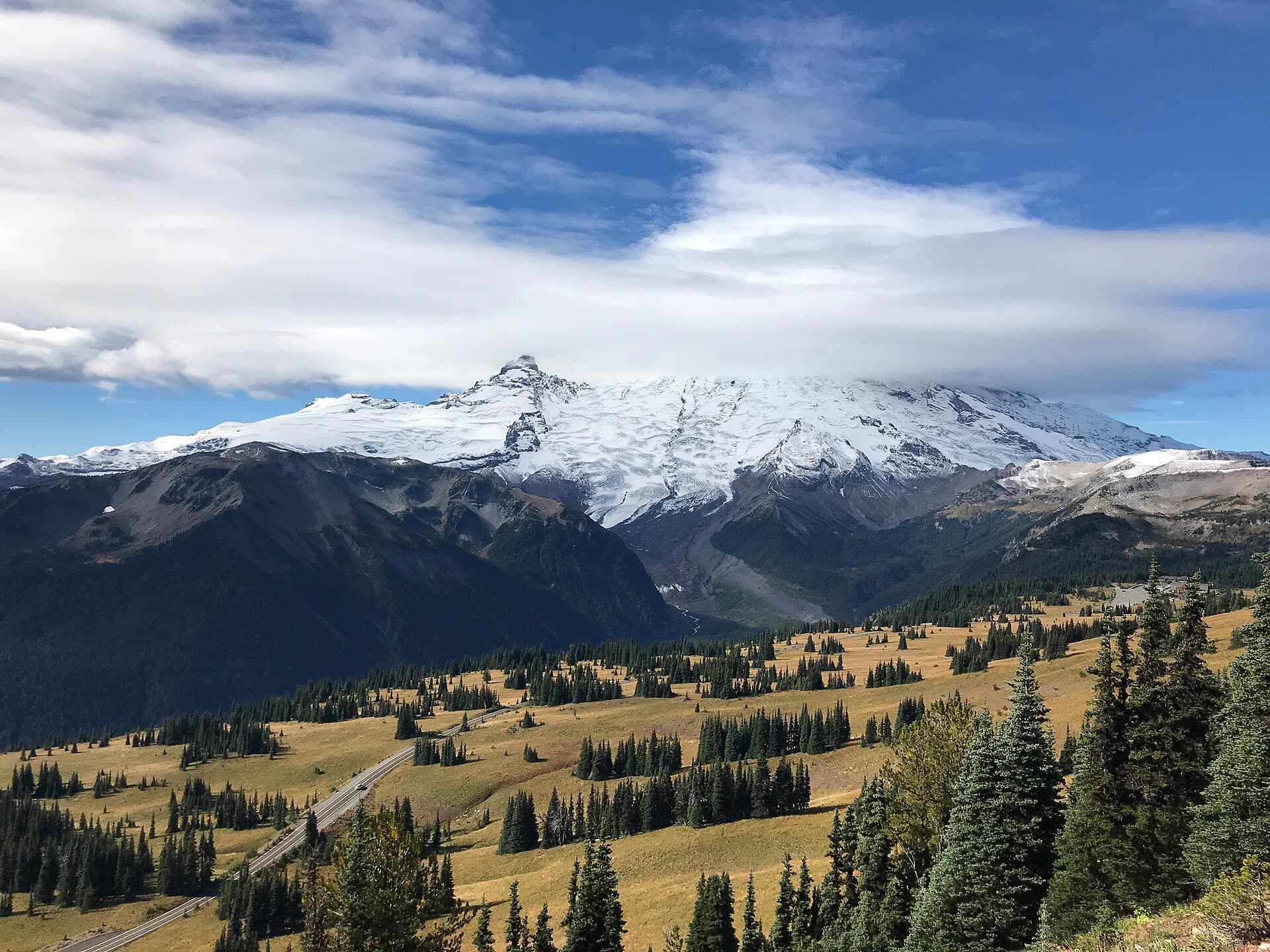
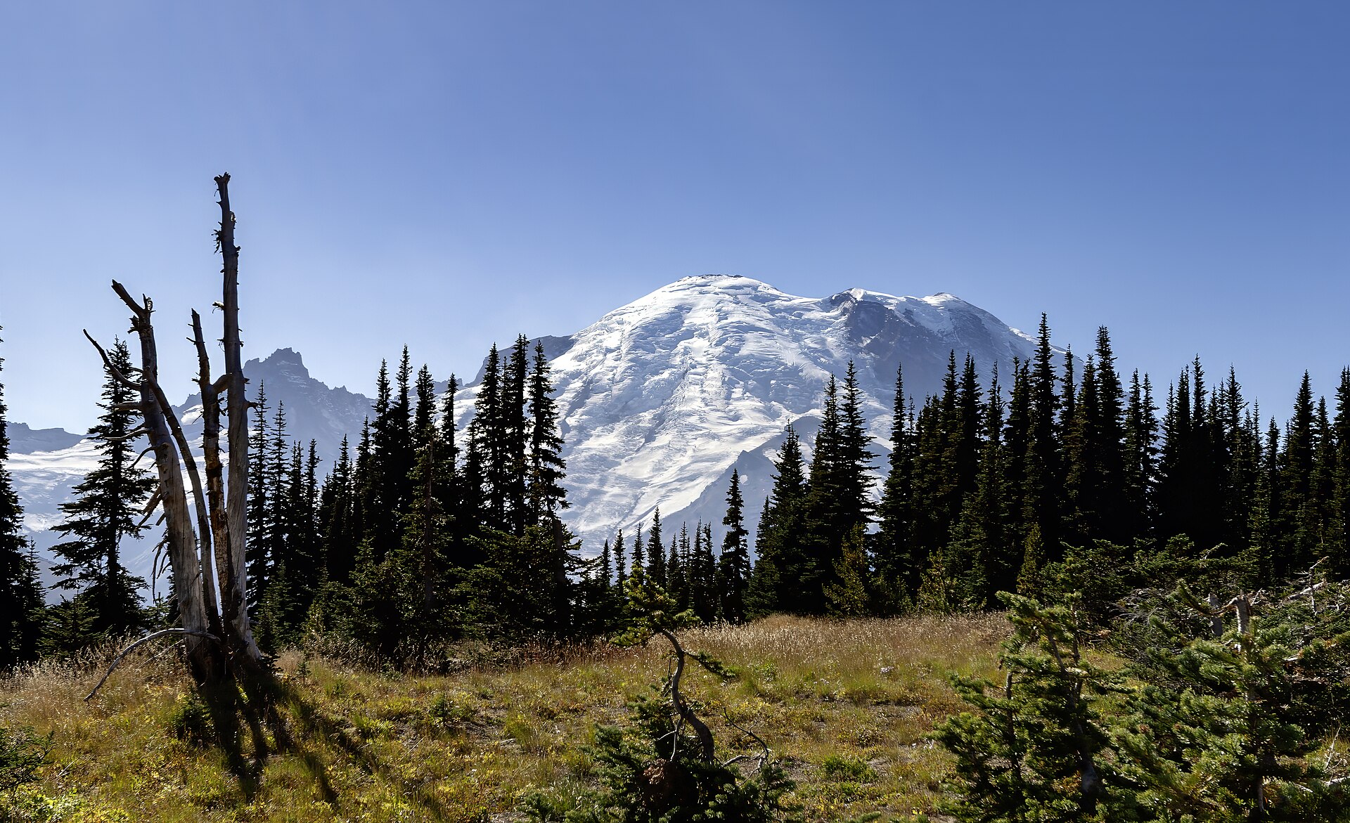
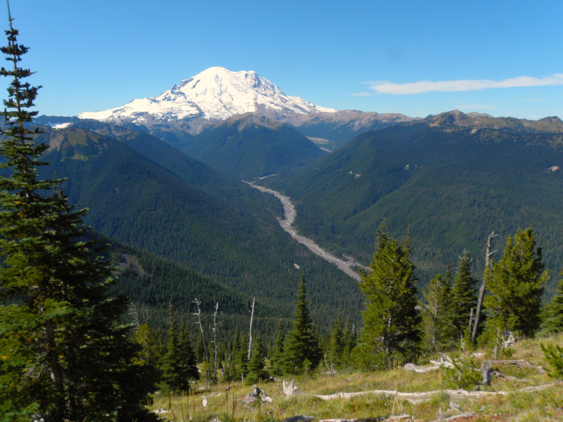
The Sunrise area on Mount Rainier’s northeast side sits at roughly 6,400 feet—the highest point in the park reachable by paved road. It’s accessed through the White River Entrance, which lies on the Enumclaw side of the mountain, not the Ashford side that most out-of-town visitors default to when they picture a trip to Rainier.
That distinction matters more than it sounds. Mount Rainier National Park was established on March 2, 1899, making it the fourth national park in the United States.
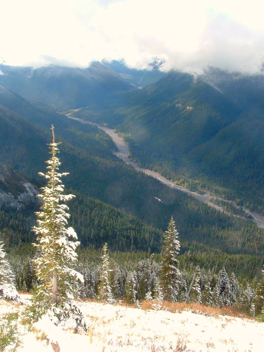
The park covers 236,381 acres, preserving a 14,410-foot stratovolcano surrounded by old-growth forest, subalpine meadows, waterfalls, and more than 25 glaciers. The mountain rises so abruptly from the surrounding landscape that elevations inside the park range from about 1,600 feet at the lowest valleys to over 14,000 feet at the summit.
It is the highest peak in the Cascade Range. All of that high country on the northeast flank—the sweeping meadows, the close-up glacier views, the trails that feel like they’re above the rest of Washington—routes through Enumclaw.
State Route 410, which runs straight through downtown, is the road that takes you there. A visitor leaving Seattle for Sunrise passes through Enumclaw whether they plan for it or not.
That geography gives the town a quietly significant role that doesn’t always make it onto the brochures. Enumclaw isn’t just a community with a scenic backdrop.
It’s the last real town before the White River Entrance, which means it’s where people stop for gas, groceries, and a look at the weather before committing to the climb. The mountain can generate its own weather systems—clouds that dump enormous amounts of rain and snow on short notice—so that last-stop character is more practical than ceremonial.
Sunrise itself is typically open only in summer, when the snow clears enough to make the road passable. The season is short, the views are long, and the route in runs right past Enumclaw’s doorstep.
For a town that sometimes gets described purely in terms of its agricultural flatlands and its famous rodeo, that’s not a bad geographic hand to hold.
Story label: Original Story or Guide
Originally published: