

Feature
Enumclaw does not actually get more snow than Seattle. It gets twice the freezing nights, and the storms that fall on the line
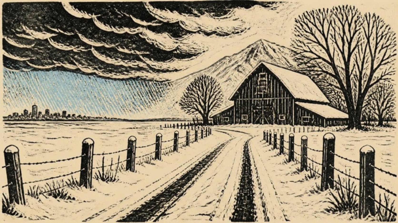
About a foot a year each, in the long weather records. What Enumclaw gets is twice the freezing nights and the marginal storms decided by a few hundred feet.
Everyone who lives here has had the phone call. You are looking at four inches of snow on the car and a friend in Seattle is telling you it is raining. The conclusion people draw is that Enumclaw is simply snowier than Seattle, a little mountain town at the foot of a very large mountain. The weather records say that is not quite true, and the real answer is more interesting.
The foot of snow
There is no long-running official weather station named Enumclaw. The nearest long record on the plateau floor is Buckley 1 NE, about four miles southwest of downtown at 685 feet, which kept daily notes from 1913 to 2012. The Western Regional Climate Center's summary of that record gives an average of 12.1 inches of snow a year. Sea-Tac airport, at 369 feet, averages 11.7 inches over its record since 1945. Mud Mountain Dam, up in the foothills at 1,318 feet, averages 12.8. Three places, three elevations, and about a foot of snow each.
The newer numbers are even less flattering to the plateau. NOAA's climate normals for 1991 to 2020 put Buckley at 4.3 inches a year and Sea-Tac at 6.3, both flagged as provisional and built on only seventeen years of snowfall data. Buckley stopped reporting snowfall after 2010, so there is no clean modern series for the plateau at all. On the numbers the record can support, Enumclaw is not clearly the snowier town.
The biggest storms make the point. In January 1950, the month of the blizzard old-timers still measure winters against, Buckley recorded 42.2 inches, the largest month in its whole record. Sea-Tac recorded 57.3. In January 1969 it was 23.5 inches at Buckley and 45.4 at the airport. In February 1990, 2.4 against 9.8. The great regional snowstorms, Seattle's emergency managers say, mostly come the same way: "Roughly 80% of snow storms in the Puget Sound lowlands occur when cold air from the interior of the continent pushes through the Frasier Gap near Bellingham and meets a low-pressure system coming off the ocean." That recipe is aimed at Seattle, and it hits Seattle.
The cold
So what is the phone call about? The difference is not how much snow falls. It is how cold it is when anything falls at all.
NOAA's normals count the nights a year that drop to freezing or below. Sea-Tac gets 25.2. Buckley gets 50.1. Mud Mountain Dam gets 79.3. The average winter low at Sea-Tac is 37.5 degrees; at Buckley it is 33.7. The plateau has twice as many freezing nights as the airport, and in winter it spends its nights hovering right at the line where rain becomes snow and wet roads become ice.
That is also what the Enumclaw School District's superintendent described in a letter to families in December 2024, explaining how weather calls are made: "It is not uncommon to have delays in the early winter with little snow if the temperature is below freezing and not expected to rise much above freezing during the day." The trouble here is often ice, not depth.
The line
The storms where Enumclaw really does get snow and Seattle gets rain are the marginal ones, when the snow level hangs a few hundred feet above the Sound. The University of Washington's Cliff Mass has explained the arithmetic on his blog more than once. Snow falling through the freezing level does not melt at once. "It takes about 1000 ft for the snow to completely melt, and we call that level the snow level." In those storms, he wrote in February 2019, "the upper reaches of our local hills (above say 400 ft) can have (wet) snow, while rain or a wintry mix hit near sea level." Enumclaw sits at about 745 feet, well above that band and miles from the warm water of the Sound.
The clean example is February 5 and 6, 2017. The National Weather Service's spotter reports, as Mass reproduced them, had 11.0 inches four miles west-northwest of Enumclaw against 3.7 at Sea-Tac. His explanation began with two short sentences: "Being away from the water helped. Being higher helped."
The most recent was this March. On the morning of March 13, 2026, the weather service issued a winter weather advisory for the King and Pierce County Cascade foothills, "down to Enumclaw," noting that sheltered and foothill areas had seen snow stick to the roads, while KUOW reported that snow was expected to turn to rain below 500 feet by evening. Sea-Tac got three inches that day. SR 410 closed between Farman Street in Enumclaw and Greenwater under heavy snow and fallen trees, and WSDOT crews pulled more than 100 trees off the highway over more than two days. No official total exists for the town itself.
The wind that steals it
Here is the part that surprises people who live under the east wind. The wind that roars out of Stampede Pass, which this site has written about, often works against snow on the plateau rather than for it. Air coming down the west slope of the Cascades sinks, and sinking air dries out. Mass put it plainly before a storm in February 2021: "Why less snow east of Puget Sound? Downsloping easterly flow, as air moves towards an approaching low pressure area near the southwest Washington coast. Sinking air kills precipitation." His forecast that day called for three to six inches near the Sound, dropping to half an inch in the far eastern suburbs. He made the same point again in February 2025.
The famous Puget Sound Convergence Zone, the band where winds split by the Olympics meet again and dump snow, is mostly a Snohomish and north King County feature. It is not an Enumclaw snow machine. So the plateau's snow comes three ways. In a big arctic storm driven from the north, Seattle often does as well or better. In a marginal storm with the snow level just above the Sound, Enumclaw wins by elevation. And in an east wind event, the wind can take the snow right out of the air before it reaches town.
When it does come
The city has no written snow and ice plan posted online; its street maintenance page carries a plow route map, and its budget lists snow and ice removal among the Public Works street crew's jobs without a separate figure. In December 2021, Mayor Jan Molinaro said on Facebook, as the Courier-Herald reported, that city crews were sanding, salting and plowing from Christmas Day with priority on the routes around St. Elizabeth Hospital, and that downtown streets including Cole had been plowed. King County plows the unincorporated plateau roads as part of 583 miles of snow routes, using liquid calcium chloride first and salt second; its road helpline is 206-477-8100.
The school district's routine is precise. On weather mornings, starting around 3:30 a.m., the superintendent, the transportation supervisor and two district directors each drive a different part of the district. The test, in the superintendent's words, is "if our buses can travel our emergency routes," and the goal is a decision by 6 a.m., with families told by phone and text around 5:30 to 6. This year's calendar sets aside March 26 and May 28, 2027 as snow makeup days.
This winter
The forecast for the coming winter points the other way from a snowy one. The federal Climate Prediction Center said on September 10 that El Niño is strengthening, "with a greater than 90% chance of a very strong event" this fall and winter. El Niño winters in Washington tend to run warm, and the state climate office at the University of Washington said the same day that "we're likely to have lower than normal snowpack this winter." Research by the state climatologist on the lowland stations found less snow, and less often, in El Niño years. That points toward fewer phone calls this winter, though a marginal storm only needs to get one night right.
The phone call is still real. It just means something different from what we thought. The plateau is not buried while Seattle stays dry. It sits a few hundred feet higher, colder by about four degrees on a winter night, on the right side of a line that the city down by the water is usually on the wrong side of.
Story label: Original Story or Guide
Originally published: