Did You Know
Every Cascade Trailhead Near Enumclaw Connects to a Path That Reaches Mexico
The Pacific Crest Trail uses the Cascade Range as its north-south spine, meaning the high country just outside Enumclaw is a small but genuine piece of a 2,650-mile story.
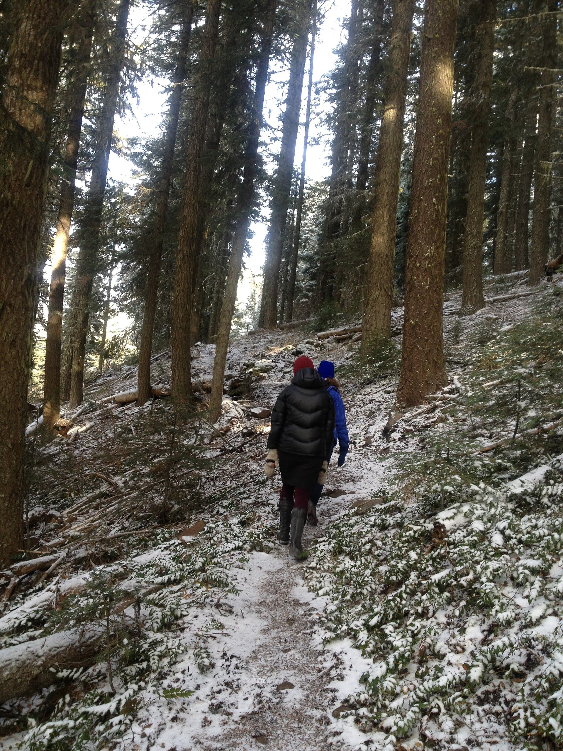
ENUMCLAW, WA—There’s a certain feeling you get on a high Cascade trail when the trees thin out and the ridge opens up, and it’s easy to imagine the path just keeps going forever. As it turns out, more or less, it does.
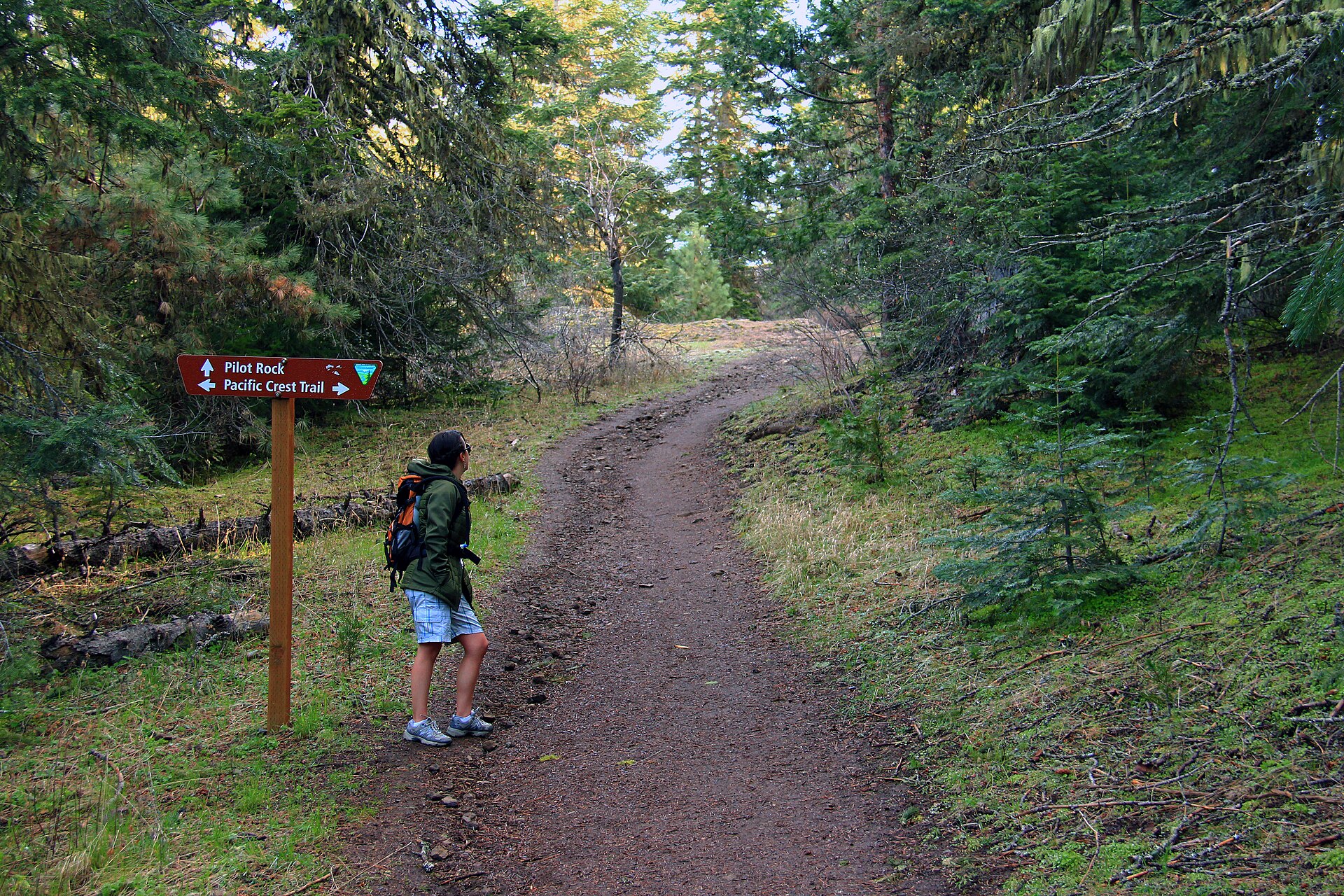
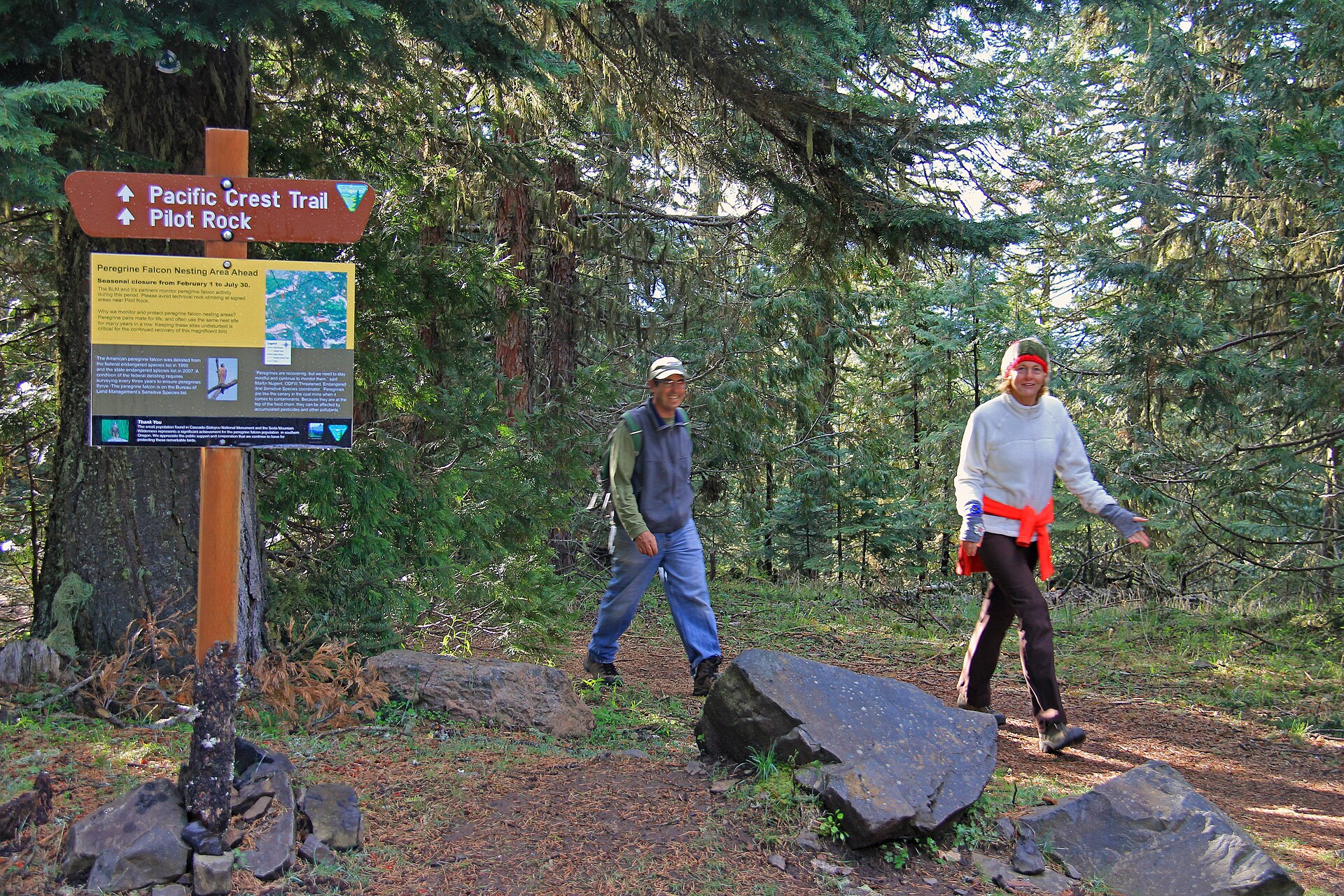
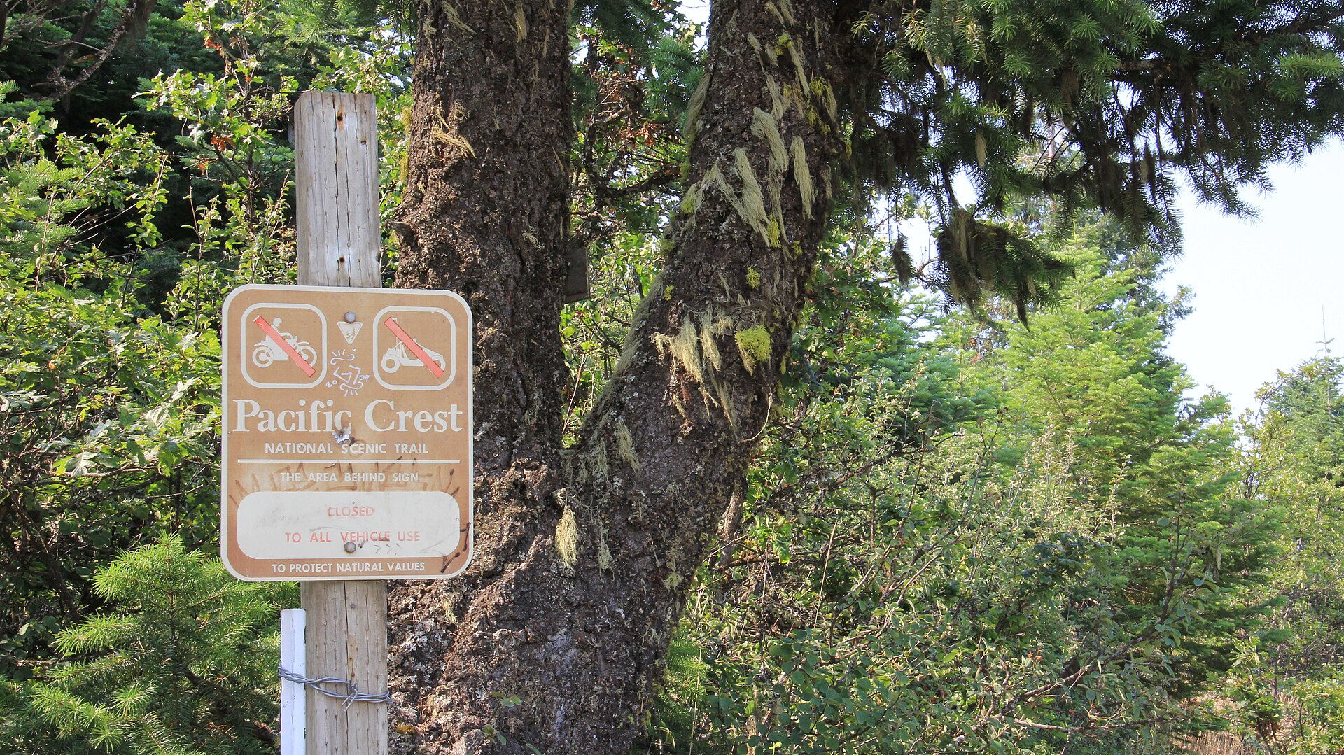
The Pacific Crest Trail—officially the Pacific Crest National Scenic Trail—runs approximately 2,650 miles along the highest ridgelines of the Cascade and Sierra Nevada ranges, from the Mexico-United States border near Campo, California, all the way north to the Canadian border. From there it continues unofficially into British Columbia, linking up with Manning Park trails before the whole grand project quietly ends in the trees.
The Cascade Range forms the trail’s northern backbone. That range stretches from southern British Columbia down through Washington and Oregon into Northern California, and it includes both the ancient non-volcanic peaks of the North Cascades and the more dramatic fire-born summits of the High Cascades.
The highest point in the entire range is Mount Rainier, sitting at 14,411 feet just northwest of Enumclaw—which means the mountain visible from town on a clear day is, geologically and scenically speaking, the crown of the whole western range. For Enumclaw hikers, that context is worth sitting with for a moment.
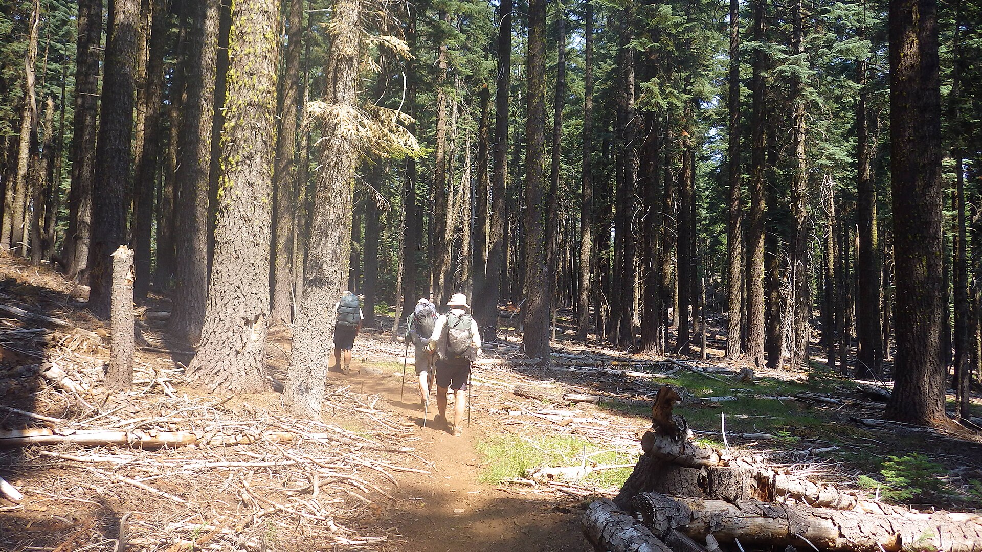
The trailheads accessible from town—up Highway 410 toward Rainier’s eastern approaches, or into the Norse Peak and Clearwater Wilderness areas—aren’t isolated weekend destinations. They’re entry points into the same mountain system that thru-hikers spend five or six months crossing on foot, one ridge at a time, from one international border to the other.
The PCT passes through Washington’s high country in its final American stretch, crossing the volcanic and glaciated terrain that makes this corner of the state feel like the dramatic conclusion to something. For a hiker coming north out of Oregon, the Washington Cascades are the finale.
For someone heading out from the Enumclaw foothills on a Saturday morning, they’re just the mountains out back. That double identity—grand continental landmark and familiar local terrain—is part of what makes this region quietly remarkable.
The same ridgeline that frames the eastern view from downtown Enumclaw is, by any reasonable measure, one of the more significant pieces of geography in the American West. It just doesn’t make a fuss about it.
Story label: Original Story or Guide
Originally published: