

Feature
The state said it pulled down Mount Peak's fire lookout in 1966 to protect children. In 2021 a helicopter delivered a steel one built to be climbed.
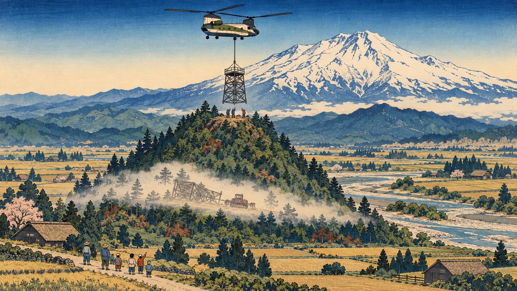
Mount Peak's fire lookout came down in 1966, to protect children, the state said. The history, the hill's three names, the 2021 helicopter lift and a visit.
At 11 a.m. on May 13, 1966, a Caterpillar tractor took hold of the fire lookout on the hill just south of Enumclaw and pulled it down. The hour and the machine come from the history King County Parks publishes for the park, abridged from the work of the local historian Alan Mainwaring. So does the state's reason. District Administrator Tom Anderson Jr. said in a press release that the agency had hoped to keep the tower in reserve, but vandalism and break-ins made it necessary to remove it "to prevent a serious accident to children playing on the tower."
Fifty-five years later a twin-rotor cargo helicopter carried a new tower to the same summit in pieces. This one is steel. Nobody watches for smoke from it. It was designed, paid for and anchored in the rock so that people, children included, could climb it.
The usual telling has a single tower standing up there for nearly four decades. There were three. Thirty-seven years, 1929 to 1966, is the county's figure for the summit's whole service as a fire lookout, and the structure the tractor took was 16 years old.
Old rock in young mud
King County calls the hill a volcanic cone, 1,800 feet high; Wikipedia calls it an extinct cinder cone. The Washington Geological Survey's map is more careful. It assigns the hill to the Fifes Peak Formation, lava flows and beds of hardened volcanic ash and rubble whose dated rocks run from about 16 million to 25 million years old. The flat ground to its north, east and west it assigns to the Osceola Mudflow, which the U.S. Geological Survey says came off Mount Rainier 5,600 years ago and ran past the site of Enumclaw. The stone columns near the summit fit: the survey says the formation's flows show columnar jointing, the splitting that happens as lava cools and shrinks. Stump of a vent or leftover block of lava, the map does not say. It shows an island of very old rock in very young mud, the mud of this site's piece on the flat part of town.
Three names and two Petes
Washington, D.C. knows the hill by one name. The Geographic Names Information System, the federal file of official place names, lists it as Pinnacle Peak, entered in 1979, with no alternates. The state and the county use it too, and it was in print by 1929. Enumclaw mostly says Mount Peak, which works out to Mount Mountain; the Courier-Herald wrote in 2021 that to locals "it has always been Mount Peak." The third name is Mount Pete.
There are two candidates for Pete. Wikipedia and the Washington Trails Association say the hill was first Mount Pete, for Pete Chorak, the coal miner and tavern keeper of this site's piece on Pete's Pool, and that Pete was later misheard as Peak. Neither cites a source. The lookout history site WillhiteWeb names another man: Pete Blascheck, who it says lived on the south side for more than 50 years, died on January 24, 1947, "and people thought he owned it." It cites no source either. Nothing opened for this article settles the question.
A tent, a stove and a telephone line
The first lookout went up in 1929. The county's history describes a 30-foot pole tower, replaced in 1934 by a 60-foot one, both bare wooden platforms with a railing, and calls it a State Division of Forestry lookout.
The 1929 annual report of the Washington Forest Fire Association, excerpted in page images on WillhiteWeb, says who did the building. The association was a fire patrol that 22 timber companies organized in 1908, HistoryLink says. Its report lists four new lookout towers that year, Pinnacle Peak first, "designed and erected by the Association in co-operation with the State." Telephone lines were strung and trails built. "A tent and stove was put in place for the lookout man."
By the association's own report, then, the hill's first fire watch was a private timber owners' project with the state as partner. The Courier-Herald has told it the other way round, with the state building in 1929 and the association in 1934. The war added a second duty, briefly: an Airplane Warning Service memo of January 19, 1942, also on WillhiteWeb, lists "Pinnacle Lookout (no house)" as an occasional stand-in for Grass Mountain.
The glass house
By the county's history a road was built nearly to the summit in 1948, and in 1950 the state replaced the open platform with a lookout a person could live in: a cab 14 feet square on a 20-foot tower, by the Division of Forestry's report for that year. The Former Fire Lookout Sites Register, in an entry nominated by the lookout historian Ray Kresek, says 40 feet and gives 1928 and 1971 as the first and last years; the association's 1929 report, the state's 1950 report and the county's history are followed here. (The Seattle Post-Intelligencer feature quoted below gives a cab 12 feet square on a 50-foot tower.)
At least 30 men and women staffed the summit, by the county's count. The last to hold the job full time was Linda Makela of Buckley, who kept the watch in 1963 and 1964 for $200 a month, she told the Courier-Herald in 2016. A Seattle Post-Intelligencer feature of September 15, 1963, preserved as a clipping on WillhiteWeb, reported that a black bear had set the tower swaying by hauling on a guy wire. It also counted her visitors. "An average of 12 to 15 persons, mostly children and teen-agers, trudged up the peak every day." Makela answered their questions and let them climb the tower.
Eleven in the morning
Her last full season ended in October 1964. HistoryLink's survey of Washington lookouts says aircraft made staffed summits less necessary after World War II. It quotes the authors Ira Spring and Byron Fish, who tied the Forest Service's removals to a fear of lawsuits from injured visitors and gave the word that went out as "if a lookout station has no further use, tear it down or burn it." Mount Peak's tower was the state's, not the Forest Service's, and the state's press release spoke of an accident to children, not of lawsuits.
So the children who were welcome guests in 1963 had become, by 1966, the stated reason for the tractor. Four concrete piers stayed behind. In 2000, according to the King County Council, the property passed from the Department of Natural Resources to King County Parks, whose web page still promises hikers "the old concrete footings of a long-gone fire lookout" and has yet to mention what stands there now.
A tower built to be climbed
The Mount Peak Historical Fire Lookout Association formed in 2016, after Doug Borst and Paul Adams, who became its president and treasurer, took the idea to county staff, the Courier-Herald reported. The plan was a replica of the 1950 tower, unstaffed, with one change: the frame would be steel. The council's staff report, relaying the county executive, said the structure would be open air, made of steel and "very sturdy."
The Legislature's 2019 to 2021 capital budget list carries $381,000 for the tower. On February 9, 2021, the County Council approved a ten-year agreement and a $250,000 grant. The association sold T-shirts and $1,000 plaques for the stairs. The total depends on who is counting: the county executive estimated $950,000 in 2020, and the Courier-Herald reported at least $600,000 in 2021.
SHKS Architects designed it with the engineers Lund Opsahl. Pease and Sons of Tacoma built it, with steel fabricated by Yakima Steel, in sections partway up the south side. The association gave the size as 14 feet square and about 40 feet to the roof. The stairs have 47 steps by the Courier-Herald's count and 45 by the county's.
On Wednesday, September 29, 2021, with the hill closed to the public, a Boeing CH-47 Chinook began carrying the pieces up: the frame, three sections of stair, the platform and the roof, as the plan was reported. On the second stair section, Adams wrote on Facebook, as the Courier-Herald quoted him, "the pilot experienced a sudden down draft which caused the stairs to collide with the tower structure." By October 6 Borst could tell the paper that every piece was in place. The ribbon was cut on Saturday, October 16, 2021.
The county's forester said the hill was clear-cut in the early 1900s, and what stands there now is second growth. By 2022 the tower had a view west, toward the Port of Tacoma, and mostly trees in the other three directions. That June the county presented a plan to cut 50 trees and prune five. A letter to the Courier-Herald asked, "What were they thinking in building a thirty foot high structure amongst 80 to 110 foot high trees?" The county said then that nothing was decided. No later decision was found.
If you go
Pinnacle Peak Park is a King County park, open under county code from half an hour before sunrise until half an hour after sunset. The county's page lists no fee or pass, and the Washington Trails Association's listing says none is needed. The county's address for the park is 26838 SE 481st Street, Enumclaw.
The south trailhead, at SE Mud Mountain Road and SE 481st Street, has a parking lot and a restroom and follows a gravel road at the gentler grade; the county gives no distance for it. The north trailhead, with road-shoulder parking at 276th Avenue SE and SE 472nd Street, starts the Cal Magnusson Trail, which the county describes as a steep mile that gains 1,000 feet on its way to the 1,800-foot summit. For the walk itself, see this site's two Pinnacle Peak hike pieces.
A caution for October: SE Mud Mountain Road has been shut since June 1, 2026, from SR 410 to 248th Avenue SE, while the county replaces the Boise X Connection Bridge, and the county's road alert lists October 28 as the planned reopening. The closed stretch is west of the south trailhead, and a signed detour is posted. Check King County Road Alerts before leaving.
The county's park page posts no hours for the tower. The county executive told the council in 2020 that it would be open during park hours, all year, and trip reports filed with the trails association this summer describe people climbing it; one from August 2 remarked on how many families with children were up there. The fifth anniversary of the ribbon cutting falls on Friday, October 16.
Story label: Original Story or Guide
Originally published: