Did You Know
Tahoma Has Been There the Whole Time, and It’s a Volcano
Mount Rainier looms over every clear-day view from Enumclaw, but the familiar silhouette belongs to an active stratovolcano that also happens to be the most topographically prominent peak in the contiguous United States.
ENUMCLAW, WA—On any clear morning in Enumclaw, the mountain is simply there, white and enormous above the treeline to the east, so reliably present that it’s easy to stop actually seeing it. What’s easy to forget, or perhaps never fully register, is that the thing filling the horizon is an active stratovolcano.
Mount Rainier—known to the region’s Indigenous peoples as Tahoma—rises to 14,410 feet and holds the title of Washington’s highest peak. It is also the most topographically prominent mountain in the contiguous United States, meaning no other lower-48 peak rises as far above its surrounding terrain.
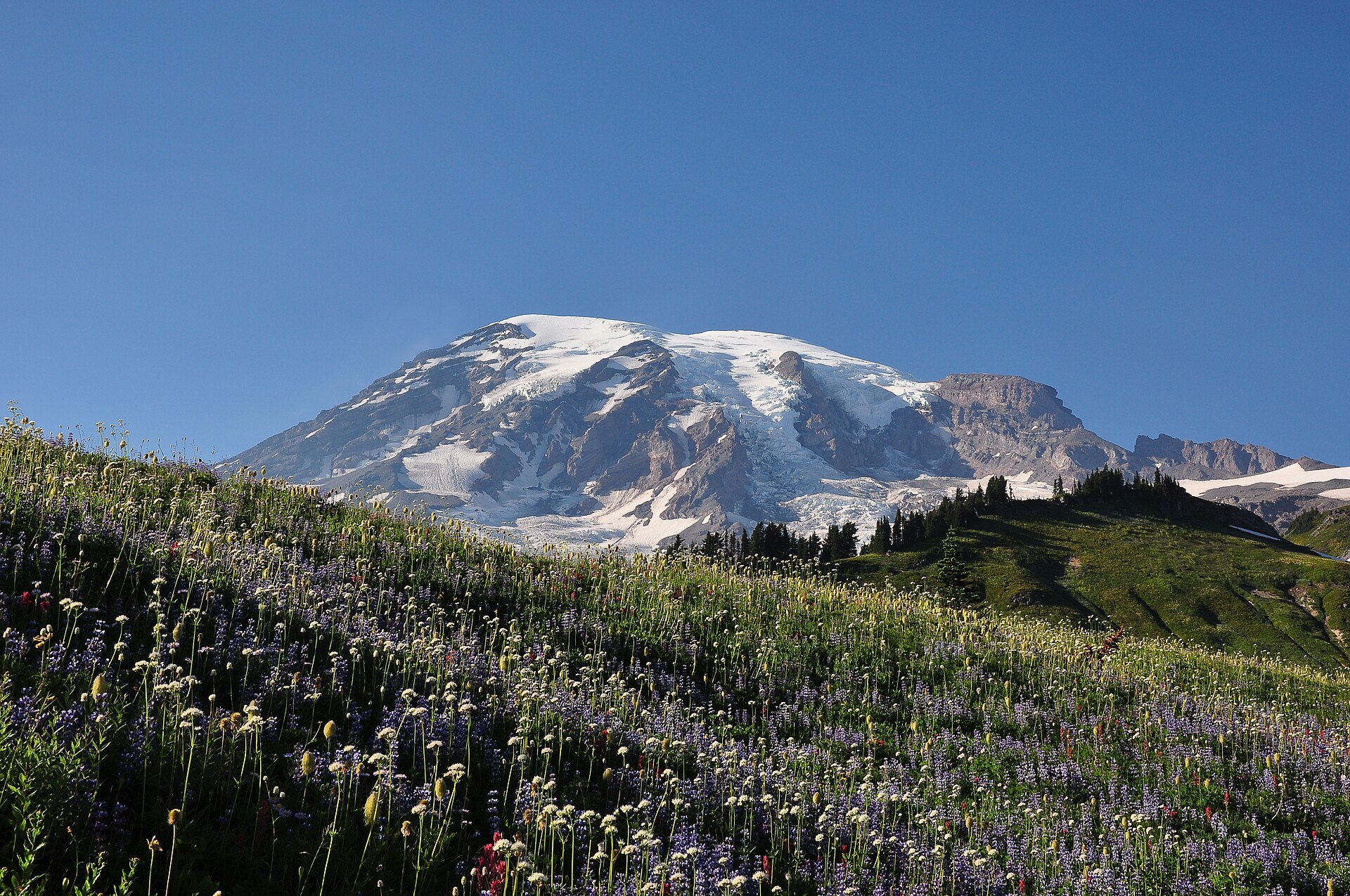
From Enumclaw’s elevation, that rise is visible in a way that’s almost hard to process at scale. The mountain sits roughly 35 miles from downtown Enumclaw as the crow flies, close enough that its glaciers are visible on a clear afternoon and close enough that regional emergency planners take its volcanic hazard designation seriously.
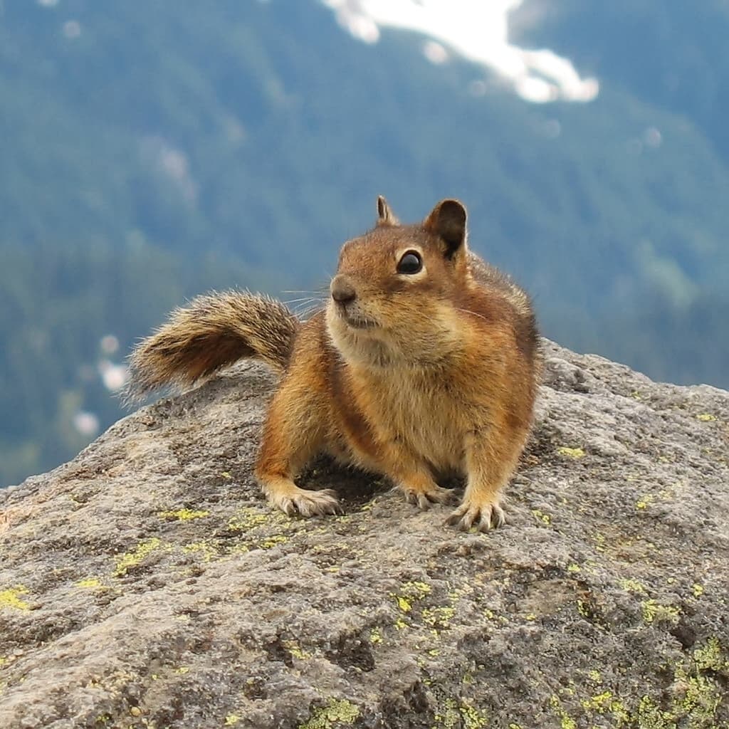
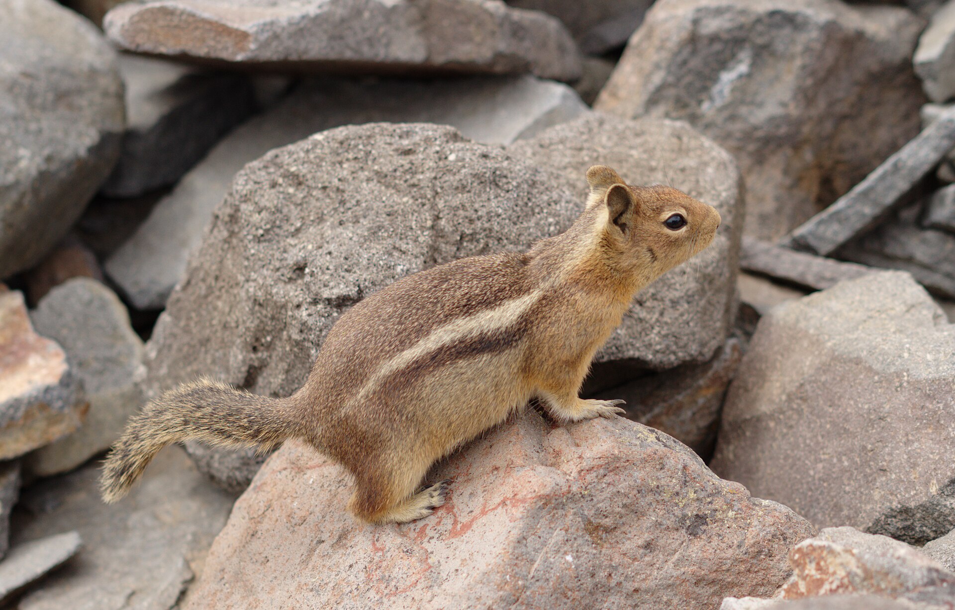
More than 25 glaciers descend Rainier’s flanks, feeding the rivers that run through the valleys below. The snowpack that builds on its upper slopes through winter is the same snowpack that eventually becomes the White River, which runs along the northern edge of Enumclaw’s surrounding farmland.
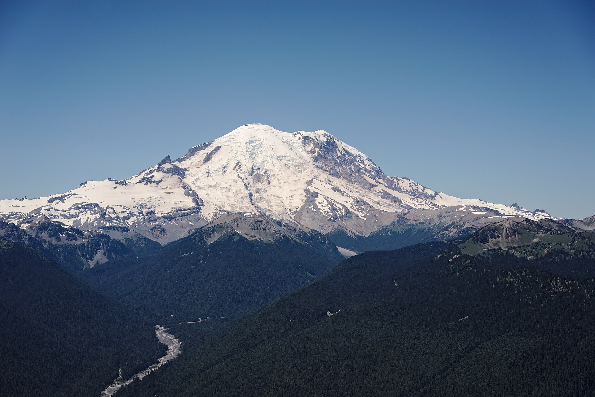
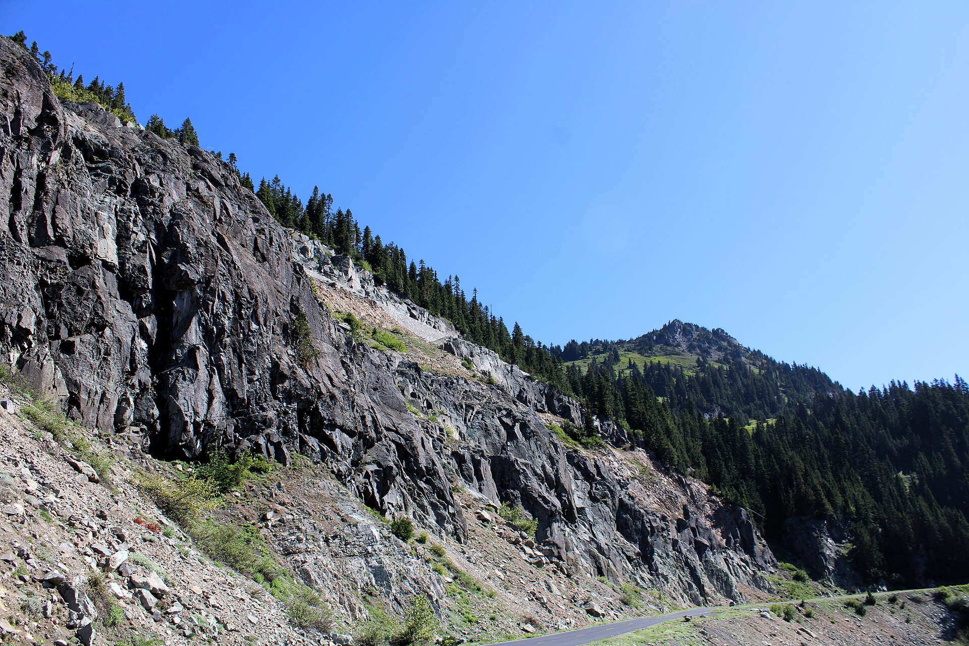
Mount Rainier National Park, which wraps the entire mountain, was established on March 2, 1899, making it the fourth national park in the United States. The park preserves 236,381 acres, with elevations ranging from around 1,600 feet at the valley floors to the summit itself.
Subalpine meadows, old-growth forest covering some 91,000 acres, and a string of waterfalls fill the landscape between the trailheads and the snowline. The park’s south and east entrances are reached via roads that pass close to Enumclaw, which is part of why the town has long served as a practical last stop before the mountain.
That geography is not incidental to Enumclaw’s layout. Several of the main routes heading east out of town exist, in large part, because the mountain is there.
State Route 410 runs northeast toward the park’s White River entrance and continues over Chinook Pass. The roads follow the river valleys that the mountain’s own glacial melt carved out over centuries.
The volcano classification is not merely technical trivia. Rainier is considered one of the most potentially hazardous volcanoes in the United States, largely because of the volume of ice and glacial material that could mobilize rapidly in an eruptive event.
The lahars—volcanic mudflows—that models project would follow river valleys are the reason Pierce County maintains evacuation planning specific to the mountain. For most days, none of that registers.
The mountain is just the mountain: the thing that tells you which way is east, the reason the clouds stack up the way they do, and the view that makes newcomers reach for their phones at intersections. It has been doing all of this since long before Enumclaw was platted, and it will almost certainly be doing it long after.
Story label: Original Story or Guide
Originally published: