

Feature
The neighbors who were here before the mountain fell
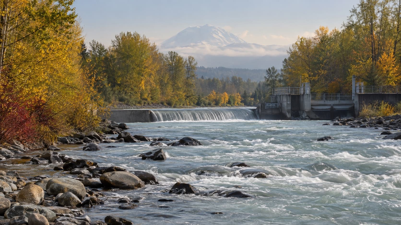
Enumclaw counts from 1885. The Muckleshoot count from before Rainier fell: two treaties, an 1857 order, the Boldt ruling, a casino tent, the forest above town.
Enumclaw knows exactly how old it is. On October 1, 1885, Frank and Mary Fell Stevenson filed a plat with the King County auditor, and the town has counted from that piece of paper ever since. Fourteen miles down Griffin Avenue, past the point where the road becomes State Route 164 and the fireworks stands begin, the arithmetic is different.
About 5,600 years ago, by the United States Geological Survey's reckoning, the summit of Mount Rainier let go. Four cubic kilometers of wet mountain came down the White River valley, spread across 82 square miles of lowland and ran on underwater for another 12 miles. The flat ground Enumclaw sits on is that deposit. The Muckleshoot Indian Tribe's own history page says its ancestors "fished for salmon, trout, and steelhead all along the rivers and the Sound" for thousands of years before anyone else arrived, and HistoryLink puts the archaeological record of their presence here at 6,000 years. Nobody wrote it down. The ground did.
A prairie, a fort, and a name that was not theirs
Muckleshoot is not what the people called themselves. It is what they called a place: an upland prairie between the White and Green rivers, bəqəlšuɬ in Lushootseed, which the ethnologist George Gibbs wrote down in the 1850s as "Mukl-shootl" and annotated as a prairie with a U.S. military station on it. The tribe's site says the reservation people came to be called Muckleshoot by federal Indian agents, "named for the upland prairie they now call home rather than the historic names" of their villages. The people who moved there were Duwamish and Upper Puyallup, from villages along the Green and White rivers and on the Seattle waterfront, and by the 1870s federal agents were calling all of them by the name of the prairie. The tribe describes itself today as "descendants of the Duwamish and Upper Puyallup Peoples," and keeps the prairie's name the way you keep a house you were moved into and then made your own.
Two treaties, one island, and a paperwork problem
Governor Isaac Stevens signed the Treaty of Medicine Creek on December 26, 1854, beside a creek off the Nisqually delta, with the Puyallup, Nisqually and Squaxin Island people. On January 22, 1855, he signed the Treaty of Point Elliott at what is now Mukilteo, with Chief Seattle, the Duwamish, the Suquamish and the upriver bands the treaty spells Smalh-kamish, Skope-ahmish and St-kah-mish. Point Elliott created four reservations. None was for the Duwamish. That is why the Muckleshoot, in their own words, "uniquely possesses rights under two treaties," which sounds like a bonus and was in fact the consolation prize for being left off the map.
War followed. In 1856 Stevens met the tribe's ancestors on Fox Island and agreed to a reservation between the White and Green rivers. On December 5, 1856, he recommended it. On January 20, 1857, President Franklin Pierce signed the executive order, and here the settlers' record does what it does: the documents behind the order, the tribe notes, "only refer to the Muckleshoot Prairie and the military station," leaving out the river land agreed to on the island. President Grant enlarged it in 1874 to 3,532.72 acres, a figure HistoryLink carries to two decimal places. In 1904 the whole reservation was allotted to 16 families, which the tribe's history sums up in eight words: "no land left to remain in Tribal hands." The tribe adopted a constitution in 1936, when it had 194 members. As of 2020, by its own count, the reservation is back to nearly 4,000 acres along SR 164 between Auburn and Enumclaw, which is why the road has a boundary sign and the town has a neighbor with the bigger deed.
Half the fish
Everything since turns on February 12, 1974, when Judge George H. Boldt of the U.S. District Court in Tacoma ruled that the treaty tribes had reserved the right to take up to half the harvestable fish at their usual and accustomed places. The Supreme Court let it stand in 1979.
On the plateau that means a building on Mud Mountain Road with an Enumclaw mailing address. In 1977, 66 adult spring Chinook came back to the White River. In 1986, six did. The tribe opened the White River Hatchery in 1989, and the Army Corps counted 16,271 Chinook at the Buckley trap in 2017, the best run in 71 years of records. The fish story is in the Boise Creek piece (https://www.enumclaw.com/stories/boise-creek-salmon) and the elk story, radio collars and 66 tons of alfalfa in the winter of 2008, is in the herd guide (https://www.enumclaw.com/stories/enumclaw-elk-herd). The short version: the state and the tribe manage both animals together, under the 2013 Point Elliott co-management agreement, updated in 2014, and much of what the state knows about the elk between 164 and 410 it learned from Muckleshoot biologists.
The tent
On April 26, 1995, the tribe opened a casino in a 13,000 square foot tent on Auburn Way South. The tent is now a 157,000 square foot floor with 3,500 slot machines, 52 tables and an 18 story hotel tower of about 400 rooms that opened in early 2024. The tribe calls it the largest casino resort in Washington. The tribe's home page says 3,300 direct jobs, which makes the Muckleshoot one of the largest employers in South King County and, in a stretch of county where a 12,543 person town is a big deal, a bigger economy than Enumclaw.
The rest of the portfolio is visible from the road. The White River Amphitheatre, seven miles west of town on 164, opened June 14, 2003, after eight years of environmental review and traffic fights, and holds 16,000. Emerald Downs sits on 157 acres the tribe bought in 2002; it took over the track itself in March 2015. The Muckleshoot Tribal School opened in 1985 with 45 students in the community center and moved in 2009 into a 107,000 square foot campus off 164. And every June the gravel lot at 2155 Auburn Way South fills with plywood stands and shipping containers for the Fireworks Mall, where you can buy aerials that are illegal a hundred yards away in Washington.
The forest above town
Then there is the part that is most of the horizon. On November 5, 2013, the tribe bought 96,307 acres of timberland from a partnership run by Hancock Natural Resource Group for about $313 million, the largest purchase in its history. Of that, 86,501 acres was the White River Forest on both sides of Highway 410 between Enumclaw and Greenwater. Tribal Council Chair Virginia Cross called it "the realization of a long-held goal of our people." Enumclaw's Darrel Dickson, then on the city council, wrote that "we are fortunate that this land has transferred to local ownership," and Mayor Liz Reynolds went straight to recreational access, which King County had bought an easement for that March, and what public access would look like under the new owner was left to the county and the tribe to work out. The tribe calls the whole holding the Tomanamus Forest, 104,999 acres across three counties, and still asks that you get a permit before you drive in. The land the town measures its history on was bought back by the people it was taken from, and the deal was closed before the town had a say in it.
The neighbors, as of this year
The Tribal Council has nine members, three elected every year; the January 19, 2026 election returned Virginia Cross, Jessica Garcia-Jones and Eileen Richardson, and the chairman is Donny Stevenson, who signed the tribe's June 2026 newsletter column under that title. Enrollment is 3,143 by the tribe's own current count, more than 3,000 by the lieutenant governor's office, and 3,353 in the 2023 figure Wikipedia cites. The Muckleshoot Charity Fund, paid for entirely by casino profits, makes grants of $1,500 to $5,000 to Washington nonprofits and schools; we could not find a public list of Enumclaw recipients and would like to hear from any group that has one.
Two clocks
So there are two clocks on the plateau. One started on October 1, 1885, with a plat. The other started before the mountain lost its summit, and the people who keep it now own the forest above the town, the hatchery on the river below it, the amphitheatre, the racetrack, the casino, and the right, written into two treaties and one federal ruling, to half of what swims past. The town's founding story, as HistoryLink tells it, has Indian warriors fleeing the roar of a nearby peak. The people the story was about did not flee. They are fourteen miles down Griffin, and they were here when the peak was taller.
Story label: Original Story or Guide
Originally published: