

Feature
Elwha River dam removal, 2011 to 2014, and what you can see
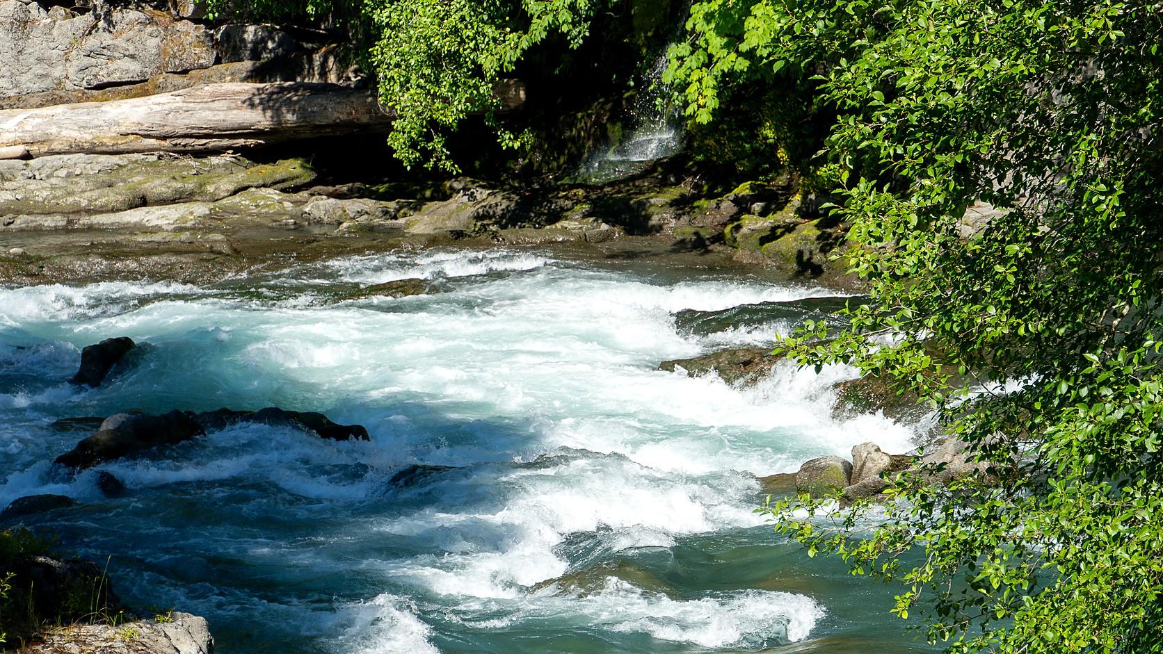
Elwha River dam removal ran from 2011 to 2014. What happened, how the salmon did, and how to reach the old Glines Canyon dam site on foot.
The Elwha River dams on the Olympic Peninsula, Elwha Dam and Glines Canyon Dam, were taken out between 2011 and 2014, in what the National Park Service calls "the largest dam removal in U.S. history." Removal began in September 2011 and the last concrete of Glines Canyon Dam was blasted out on August 26, 2014, by HistoryLink's account. The river now runs unobstructed from its mountain headwaters to the strait at its mouth.
The detail that makes the story stranger than it sounds is who asked first. It was the Lower Elwha Klallam Tribe, whose reservation sits at the river mouth, and HistoryLink says safety mattered to the tribe even more than fish. In November 1979, by that account, the tribe proposed removal because an earthquake could damage the dam above its homes.
Why were the Elwha dams built?
Elwha Dam was built to power Port Angeles. The National Park Service says construction began in 1910 and the dam worked by 1913, and that its electricity went to a pulp mill in town. Glines Canyon Dam followed eight miles upstream, and the Park Service dates its completion to 1927. HistoryLink says work on Glines began in 1926, while the Park Service's overlook page says the dam was built between 1925 and 1927.
Neither dam had a way for fish to pass, though the Park Service's Elwha brochure notes that a state law required one. That left sea-run fish only about five miles of river to use above the mouth. The Park Service says the dams also trapped sediment, the sand and gravel a river carries, which eroded riverbanks downstream and damaged spawning habitat, and that they flooded places of religious significance to the Lower Elwha Klallam people.
Why were the dams removed?
Congress decided it, in a law called the Elwha River Ecosystem and Fisheries Restoration Act that, by HistoryLink's date, was signed on October 24, 1992. It authorized the Interior Department to buy the dams and restore the river and its native fish. It did not order the dams out by itself, and it took until 2000 for the purchase to be completed, then until 2009 for stimulus money to move the schedule up to 2011.
Support in Port Angeles was thin. Local residents feared for the mill's power and the city's water, according to HistoryLink. That is why $79 million of water-treatment and intake work, finished in April 2010 by the Park Service's figures, went in before any concrete came down.
How were the Elwha dams taken out?
Slowly, on purpose. The turbines were shut off on June 1, 2011, and the reservoirs began to fall. At Glines Canyon Dam, the Park Service says, barge-mounted hammers took off the top 17 feet, then crews notched the dam down in alternating cuts so the reservoir could drain in stages, with pauses to let the sediment load downstream ease.
Glines was the hard one. HistoryLink reports that studies had underestimated the mud behind it, partly because of a 1917 mapping error, and that the new water-treatment plant could not handle the load. Work stopped for a year and resumed on October 5, 2013. The dam heights depend on who is measuring: HistoryLink gives 108 feet for Elwha Dam and 210 for Glines Canyon, while NOAA Fisheries gives 32 and 64 meters, which is about 105 and 210 feet.
When did each dam finish? The Park Service's main page says the Elwha Dam was gone six months after the September 2011 start, and HistoryLink dates that to March 2012. A different Park Service page says the Elwha Dam was removed in 2011. The sources agree on 2014 for Glines Canyon, and this page uses March 2012 for the lower dam.
Did the salmon come back?
Some did, quickly, and some have not. The Park Service says salmon were back above the dams within months and that the river reopened more than 70 river miles inside the park. HistoryLink counts nearly 300 Chinook nests in the river above the former Elwha Dam in 2012, and 4,200 returning Chinook in 2013, the most in two decades.
The longer record is mixed. In the Park Service's research summary, Chinook have the best return of the five salmon species and steelhead show strong recovery, while pink and chum salmon "still remain critically low." NOAA Fisheries wrote that as of 2023 Chinook remained in the "Preservation" phase of a four-phase recovery plan and that full recovery will take decades. The Park Service says biologists expect at least a generation, perhaps more.
What did the river do to the land and the coast?
It moved a lot of ground. The Park Service says the released sand and silt left more than a meter of new sediment in the river's estuary and pushed the delta at the mouth out more than 400 meters. Before the dams, the same sediment had been feeding that shoreline.
Upstream, the drained reservoirs became a replanting project. Park botanists and volunteers started in 2011, the Park Service says, using roughly 320,000 plants, plus 7,000 pounds of seed, grown at the park's native plant center. The Lower Elwha Klallam Tribe owns and manages most of the estuary, according to the Park Service, and the tribe and the park worked together on the replanting.
Can you see where the Elwha dams stood?
You can see Glines Canyon, on foot. The Park Service's Glines Canyon Dam Overlook sits on what was once the dam's spillway and looks over the old Lake Mills valley and down into the canyon, which the Park Service describes as 200 feet deep. The route runs on Olympic Hot Springs Road from the Madison Falls parking area.
As of November 2026, the Park Service's conditions page says the road is "closed to vehicles at the Madison Falls parking area due to a road washout," but open to walkers, stock, bicyclists and pets on leash. The page lists a toilet at the Madison Falls trailhead and no facilities past the gate. The distance is 3.4 miles one way on the Park Service's overlook page and 3.6 miles on its Elwha brochure, which adds that the washout is about a mile south of the park boundary and that a 0.8-mile bypass trail goes around it. By those figures the round trip is close to seven miles.
Madison Falls itself is easier. The Park Service describes a paved 0.1-mile trail to a 60-foot waterfall, open year round. The Park Service's alerts feed, read on November 2, 2026, listed no Elwha alert at that time. The two it did list concerned the Staircase burn area and a rabid bat near Staircase.
The former Lake Aldwell, behind the lower dam, is not covered here. The Park Service pages checked for this guide did not give a current viewing spot for it, so check with the park before heading for the Highway 101 side.
Do you need a pass for the Elwha?
The park's fee page says every visitor must hold an entrance pass: $30 for a private vehicle, valid seven days, or $15 for a person on foot or bike who is 16 or older, with a $55 annual pass for the park. The page was last updated December 19, 2025, and the Madison Falls page says entrance fees may apply, so it is not clear from the desk whether anyone checks at that trailhead. The National Park Service sets the fees and lists its fee-free days a year at a time, and as of November 2026 its list for U.S. citizens and residents ends with Veterans Day, November 11, 2026, with no 2027 dates posted yet. Look at the fees page for the current numbers.
The Enumclaw connection
Enumclaw sits beside a dam of its own. Mud Mountain Dam, on the White River southeast of Enumclaw, is covered in our Mud Mountain Dam guide. The Army Corps of Engineers says a trap-and-haul system for moving fish up past that dam was agreed on in 1948 as mitigation for building it, a different answer to a problem the Elwha dams never solved, since HistoryLink says the hatchery built there as a substitute for fish passage proved unsuccessful and was abandoned.
Closer to town, the White River diversion at Buckley sent most of a river through a lake for 92 years, and Boise Creek has a salmon story of its own. The Elwha is the far larger case.
Before you go
Check three things the day before. Call the park's recorded Road and Weather line at 360-565-3131 or the visitor line at 360-565-3130, since the washout line on the conditions page was written for a long stretch of 2026 and much of that page still reads like summer. Read the alerts box. And remember that this is a trip to an old reservoir bed in winter, so wear boots, tell someone where you are headed and take daylight seriously.
If the Elwha is part of a longer Olympic trip, the Hoh Rain Forest in winter is another stop. For the other parks in the state, our guide to Washington's national parks is the place to start.
Story label: Original Story or Guide
Originally published: