

Feature
Is Enumclaw in the lahar zone? What the USGS map says
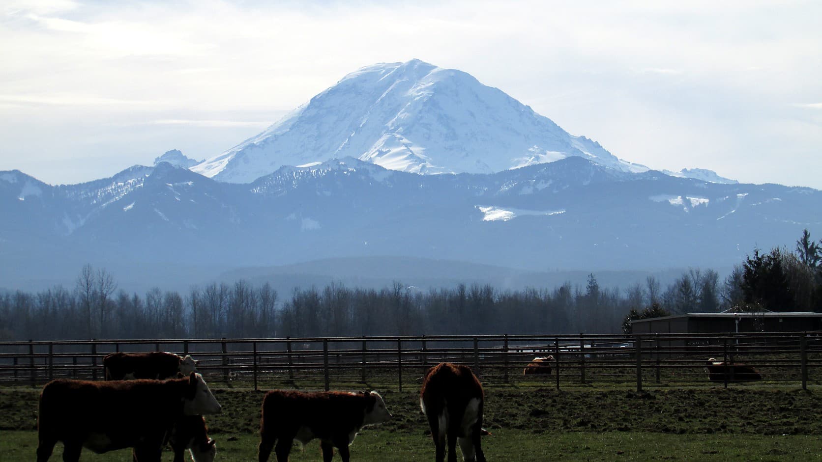
Is Enumclaw in the lahar zone? No: the USGS map puts the town in the ash zone only. The zone starts two miles out on the White River, which has no sirens.
No, by the USGS hazard map that the state serves online and the USGS prints in its brochure, with two catches. The U.S. Geological Survey's simplified volcanic hazard zones for Mount Rainier, served online by the Washington Department of Natural Resources, were checked at Enumclaw City Hall, 1700 Cole Street, the Expo Center and Buckley City Hall on October 14, 2026, and at all four the only hazard drawn is volcanic ash. The lahar zone begins where the plateau drops to the White River, about 2.1 miles from City Hall by the layer's boundary, and it holds the two bridges to Buckley, the highway east of Mud Mountain Dam and Greenwater. The USGS's April 2026 hazard brochure prints the same picture, with Enumclaw's dot outside the orange.
The first catch is what the town stands on. Enumclaw is built on the Osceola Mudflow, the largest lahar Mount Rainier has produced in 10,000 years; the state's geologic map puts City Hall on it, and USGS geologists reading well logs put as much as 20 meters of it under Enumclaw and Buckley. The second catch is that every siren in the Mount Rainier warning system stands in Pierce County's Puyallup and Nisqually valleys, by the county's count. The White River, the valley that carried the big one, has none; the county's own FAQ says its sirens are only in those two valleys.
What does the Mount Rainier lahar map show for Enumclaw?
A plateau in the ash zone and a valley in the lahar zone. The layer, DNR's 2016 digitization of the USGS maps, puts ash under every point checked and nothing else under City Hall, Cole Street, the Expo Center or downtown Buckley; a Greenwater address on SR 410 is in its lahar zone. From City Hall the nearest edge of the lahar polygon is about 2.1 miles to the southwest, where SR 410 starts down to the river; from Buckley City Hall it is about half a mile. As of October 2026 anyone can repeat the check on DNR's Geologic Information Portal; King County's volcano page offers no map.
The USGS attaches a caveat. The zone's outer line is drawn for the large lahars that recur every 500 to 1,000 years, and the agency's page for the map says most lahars, being small, would stop short of it and a few would pass it, adding that "Scientists continue to reevaluate the hazard zones as they learn more about the volcano." The moving-to-Enumclaw guide has the short version.
Why is Enumclaw built on a lahar but outside the zone?
Because the lahar it is built on belongs to a class by itself. About 5,600 years ago, during a period of eruptions, 2 to 3 cubic kilometers of rock from Rainier's summit and northeast slope, most of it rotted to clay by the volcano's hot fluids, slid away and ran down both forks of the White River, past the site of Enumclaw, to Puget Sound near Auburn, and left deposits over about 212 square miles. DNR's 2012 lahar circular calls the Osceola at least ten times larger than any other known lahar from the mountain and files it under Case M, "a low-probability and high-consequence lahar", while the map's zone is drawn for Case I, the flows of every 500 to 1,000 years. That is why ground the Osceola buried 20 meters deep sits outside the zone. The USGS's 1998 hazard assessment, the report behind the maps, does draw an Osceola-scale zone on a separate small map, Map C of its Plate II, for low-probability, high-consequence events, and that zone takes in Enumclaw and Buckley; the simplified map, the DNR layer and the 2026 brochure do not carry it. The essay on the flat part of town is about living on it.
The weak rock is also on the other side of the mountain now. The USGS's 2008 fact sheet says the west flank, at the head of the Puyallup, holds the most weakened, clay-rich rock and the greatest potential for the big landslides that become far-traveled lahars. The Electron Mudflow of about 500 years ago, 1502 or 1503 by the circular's dating, came off that flank with no eruption anyone has tied to it, and it is the reason the sirens are where they are.
The circular gives Case I lahars a recurrence of once every 500 to 1,000 years; the fact sheet's version is that at past rates there is roughly a 1-in-10 chance of a large lahar reaching the lowland in an average human lifetime. The White River's most recent big one on the circular's list, about 1,200 years ago, filled both forks 65 to 100 feet deep and ran more than 60 miles to Auburn.
Would a siren sound in Enumclaw?
No siren is built to. Pierce County's emergency management department says on its Outdoor Warning System page that it has 42 sirens, in the Puyallup and Nisqually valleys, tested each month at noon on the first Monday, and about the real thing it is plain: "During a real event, the outdoor sirens will continuously wail until the batteries die or they are destroyed." The USGS brochure says communities along the Carbon, Puyallup and Nisqually rely on sirens because those valleys face no-notice lahars from the upper west side; its map prints arrival times down the Puyallup and the Nisqually and none along the White River. On the King County side the brochure points to ALERT King County and to Wireless Emergency Alerts.
The city's own Disaster Preparedness page, read October 14, 2026, lists volcanic eruption among four hazards, never uses the word lahar, and refers questions to Fire Chief Randy Fehr. The department, a fire district as the 911 explainer on this site sets out, recorded Ben Hayman's appointment as chief in its minutes of December 17, 2025.
How much warning would the White River valley get?
No published warning time for the river below Mud Mountain Dam turned up in any source opened for this article. What exists is the Pierce County side: a detection system of tripwires and acoustic flow monitors on the Puyallup and Carbon, running since 1998. For a landslide off the west flank the USGS gives about five minutes to the park's residential areas and 15 to 60 minutes beyond, and Pierce County's 2008 draft plan tabled minimum travel times from detection of 40 minutes to Orting, 65 to Sumner, 80 to Puyallup and 110 to Commencement Bay. For the upper White River the same plan keeps a pre-scripted radio message telling anyone near the river upstream from Greenwater to move to higher ground at once and not to call 911.
What about Mud Mountain Dam?
It was not built for this, and the people who have thought about it say might. The Mud Mountain Dam guide covers the 432-foot dam the Army Corps of Engineers finished in 1948, which the USGS's 2017 field guide says was built solely for flood control. Pierce County's 2008 draft plan says: "Although not designed for lahars, Mud Mountain Dam on the White River is a flood-control structure that might provide substantial storage for lahars and minimize downstream damage unless lahars or related floods overtopped it." The Muckleshoot Indian Tribe's 2020 annex to King County's mitigation plan goes further, saying a White River lahar would be much smaller than the Osceola and that the dam would block or damp it.
Who lives in the White River's lahar zone, and what are the rules?
About 5,000 people year-round in the upper valley, by the 2008 plan. King County's web page for its 2025 to 2030 hazard mitigation plan says a Rainier lahar would threaten south King County around Auburn, Algona, Pacific and Enumclaw, and that the only effective mitigation is to avoid the risk through development standards and to prepare with information campaigns, warning systems and evacuation routes. The plan itself lists Algona, Pacific, Auburn and the Muckleshoot Tribal Nation among the communities at risk from an eruption and lahar, and the text of its volcano chapter does not mention Enumclaw. King County Code 21A.24.300 has them: upstream of Mud Mountain Dam, critical facilities, apartments, townhouses and commercial structures are not allowed in the volcanic hazard area and new lots must keep their building sites outside it; downstream, and on the Green and Duwamish, critical facilities must be built to withstand a mudflow the size of the Electron. The same section says it does not apply until the county refines the maps with the USGS and adopts them by public rule, and this article found no record that it has.
What happens to the roads and bridges?
They are the part of the zone that touches town. SR 410 between Enumclaw and Buckley dips into the lahar polygon for about a third of a mile at the river, by a routing check, and east of town it runs inside the zone, with one short break, from about eight miles out, past the Mud Mountain Dam turnoff, to Greenwater. The Foothills Trail's 572-foot steel bridge, opened September 28, 2024, crosses the same floor a few hundred yards upstream, which King County's release called an alternative emergency route if the SR 410 bridge is damaged; the trail ride between Buckley and Enumclaw is about three flat miles. The USGS brochure's reminder reads as if written for a plateau town: "Remember, your location may be safe, but lahars may destroy roads and bridges that isolate your area".
The lahar you can see from Highway 410
A USGS field-trip guide for geologists, published in 2017, runs down the White River from the Forest Service office near milepost 25 at the east end of Enumclaw. Stop 2 is the Corliss quarry 1.4 miles east, where the Osceola lies 2.5 to 3 meters thick at the photographed face on gravels left by the ice-age Puget lobe. Stop 3 is the dam viewpoint, about 110 meters above the river, where the guide says the flow's surface stood as much as 40 meters higher still and allows that its passage east of Enumclaw must have been spectacular. Stop 5, past Greenwater, is a riverbank cut 8 meters into the deposit.
Where to check, and what to do now
Look up your parcel on DNR's portal, and read the line as the USGS asks: a planning zone, not a fence. Sign up for ALERT King County and keep Wireless Emergency Alerts on. The USGS advice for anyone in a lahar zone is a route to high ground at least 100 feet above the valley floor, on foot rather than by car. For the plateau the realistic hazard is ash, which the brochure says to clear from a roof once it is more than 4 inches deep.
Story label: Original Story or Guide
Originally published: