Outdoors & River

Trails, river conditions, parks, foothills, weather-adjacent recreation, and getting outside.

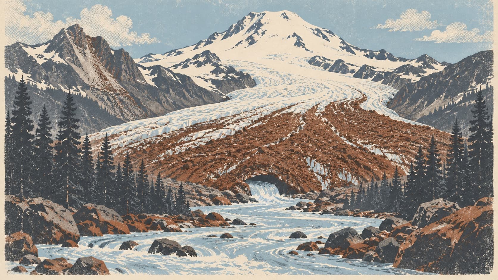
A screen-print poster of a glacier tongue blanketed in dark rock at the foot of a white volcano, a pale milky river pouring from its snout down a valley of flat-ink firs, in slate, chalk white and rust.

Outdoors & River/September 25, 2026

The White River is white because the largest glacier in the lower 48 is grinding Mount Rainier into flour

The White River begins under the largest glacier in the lower 48 and moves 550,000 tonnes of sand and silt a year. Why it is milky, and why Pacific floods.
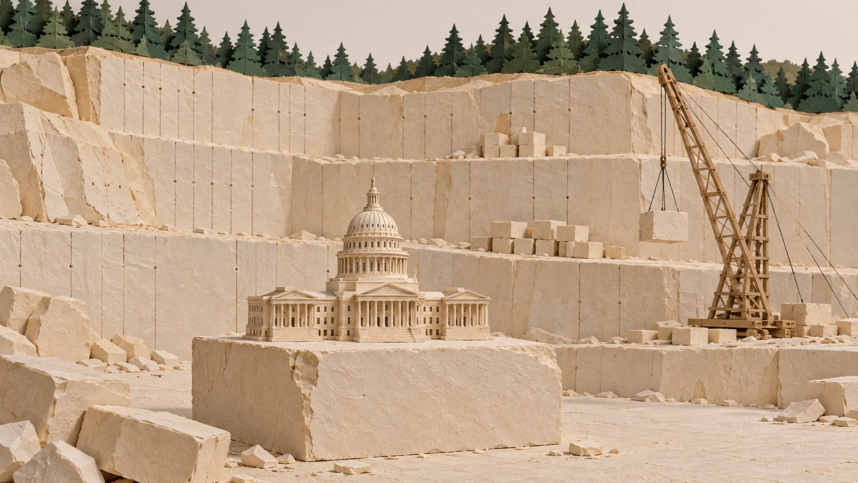
A cut-paper diorama of a pale sandstone quarry face with a small paper capitol dome resting on a freshly cut block in the foreground.

Outdoors & River/September 24, 2026

The State Capitol is built from a hill nine miles from Enumclaw, and the town says it was never paid

The Washington State Capitol is skinned in Wilkeson sandstone from a quarry nine miles from Enumclaw. The town says a 1925 bill was never paid. The whole story.

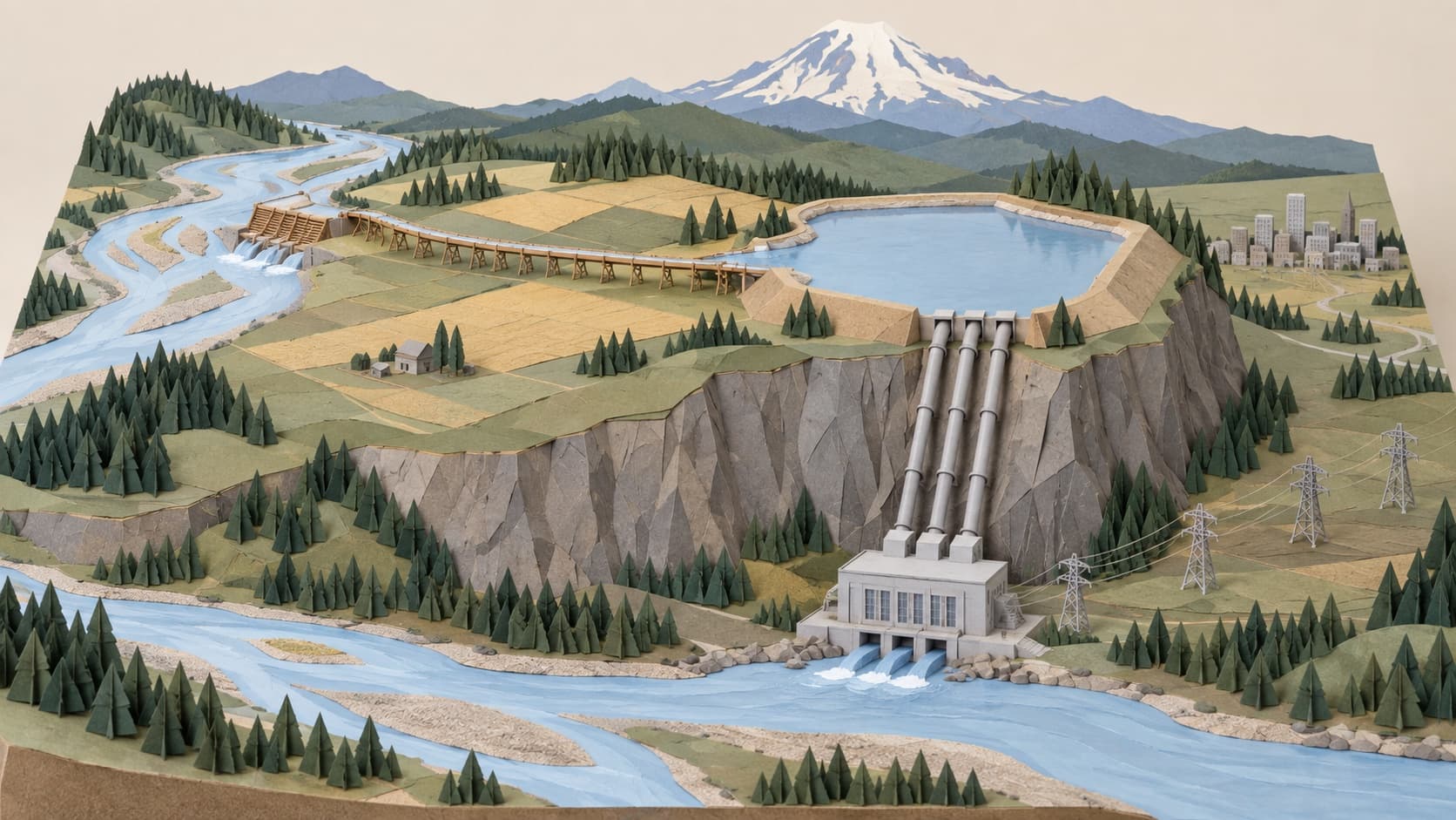
A cut-paper map diorama of a river diverted by a low dam into a flume, across a plateau to a diked lake, and down penstocks to a powerhouse.

Outdoors & River/September 24, 2026

For 92 years, most of the White River took a detour through a lake

A Boston firm dammed the White River at Buckley in 1910 and ran most of it into Lake Tapps to make power. The plant closed in 2004. Who owns the detour now.

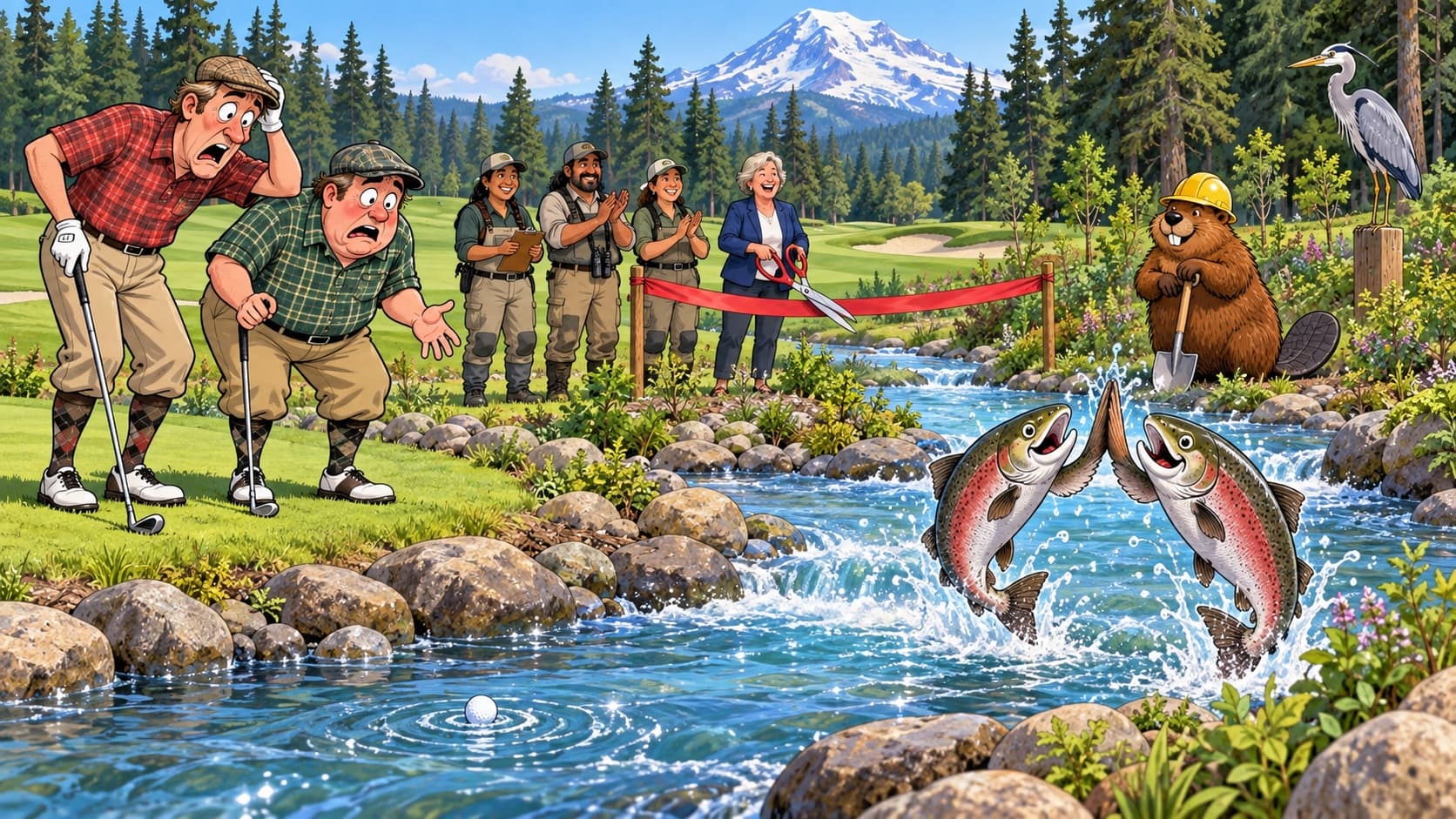
A cartoon of salmon leaping in a new creek channel beside a golf course while golfers watch their ball float away.

Outdoors & River/September 23, 2026

The town owns a golf course, and it just gave a creek back

Enumclaw owns its golf course. It was built in the 1940s, the county handed it to the city, and in 2024 Boise Creek was moved back for the salmon.

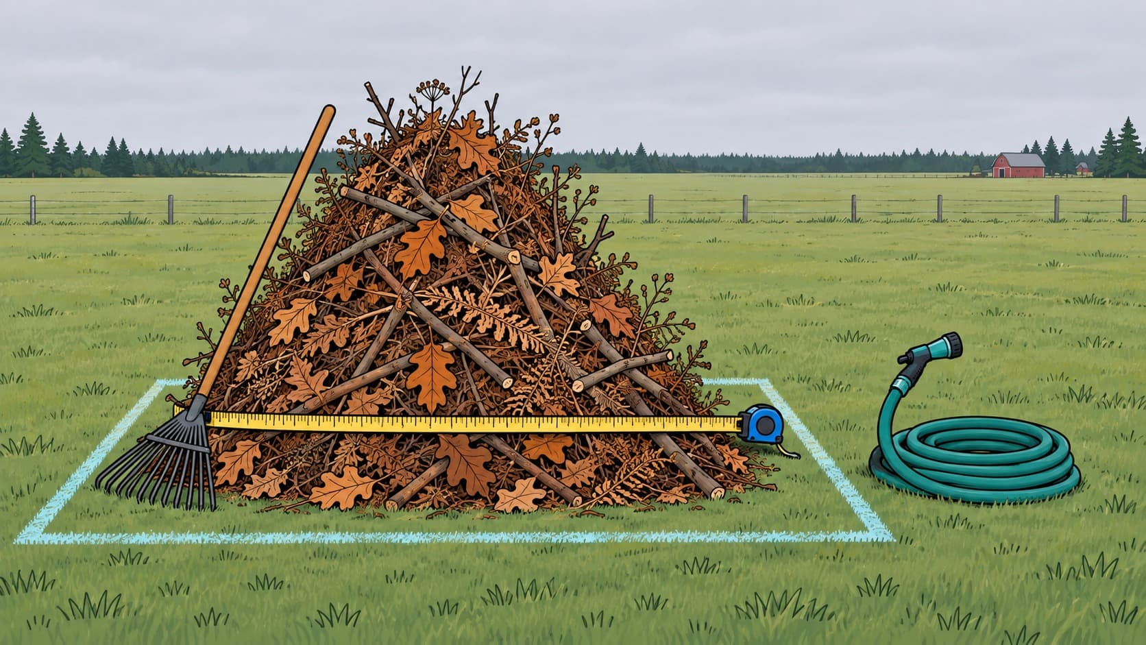
A legal burn pile of cut branches standing in a mown corner of a rural field on the Enumclaw plateau

Outdoors & River/September 21, 2026

The burn pile you light next month may be one of the last legal ones on the plateau

Enumclaw's burn ban ends Sept 30 and free permits resume in October. Here are the rules in full, plus the rulemaking that could end rural burning.

The plateau doing everything at once in autumn

Outdoors & River/September 18, 2026

First bugle to first frost: the six weeks when the plateau does everything at once

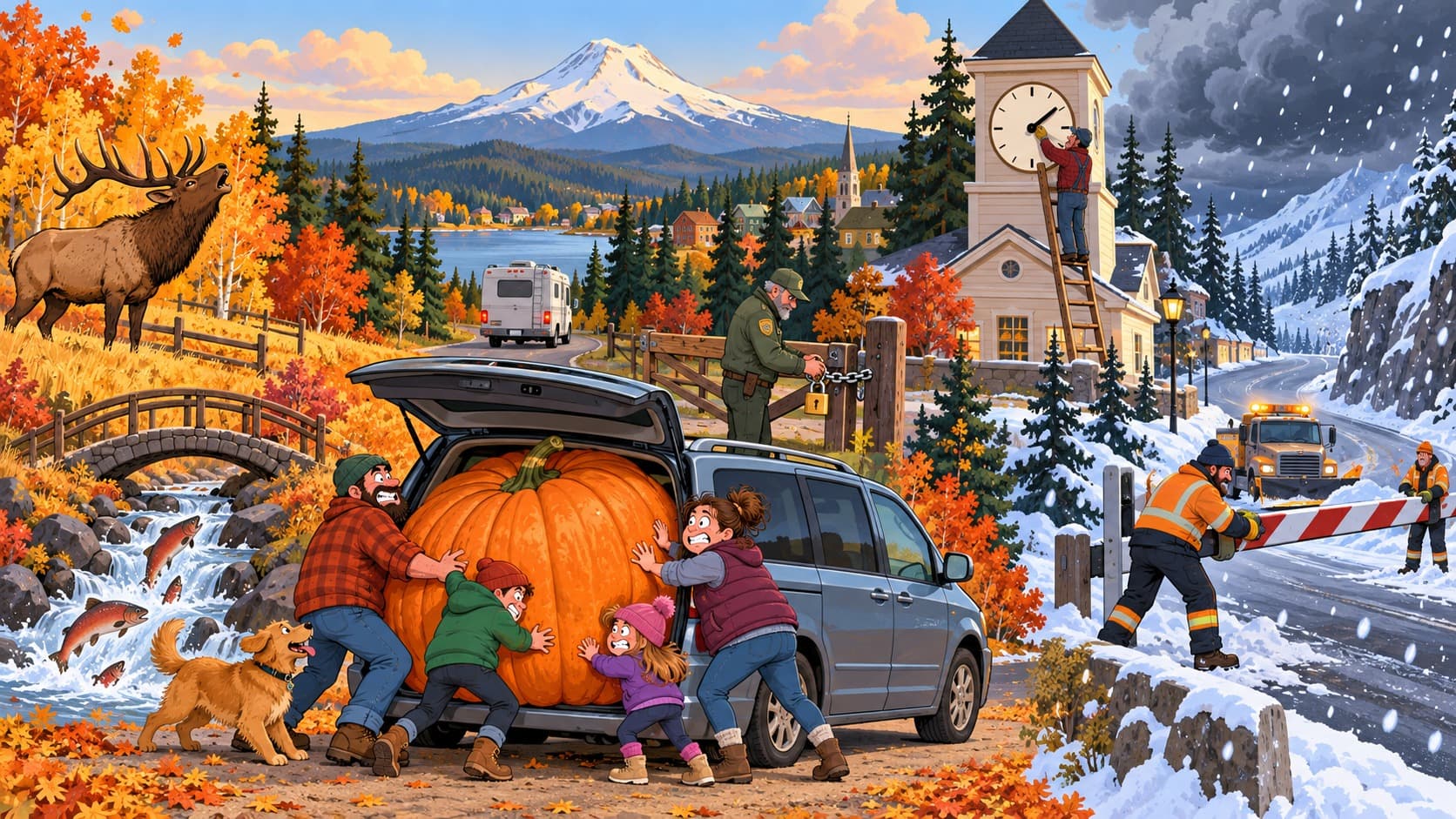
Week by week, mid September to November 1: elk rut, Boise Creek salmon, pumpkin patches, Sunrise Road, Chinook Pass closing, first frost, sunset times.

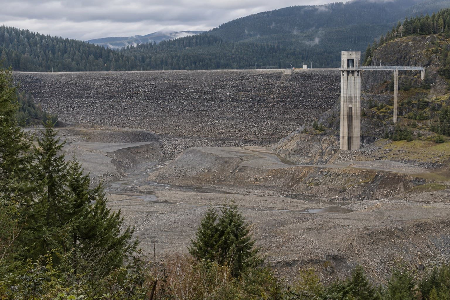
Rendering of Mud Mountain Dam's rock-fill face and intake tower seen from the Vista Trail deck above an empty reservoir

Outdoors & River/September 16, 2026

The most important thing in the valley is a pile of rock you cannot see from anywhere

Mud Mountain Dam is 432 feet tall, was briefly the tallest of its kind on Earth, holds no lake, and spends most of the year doing nothing. Then it rains.

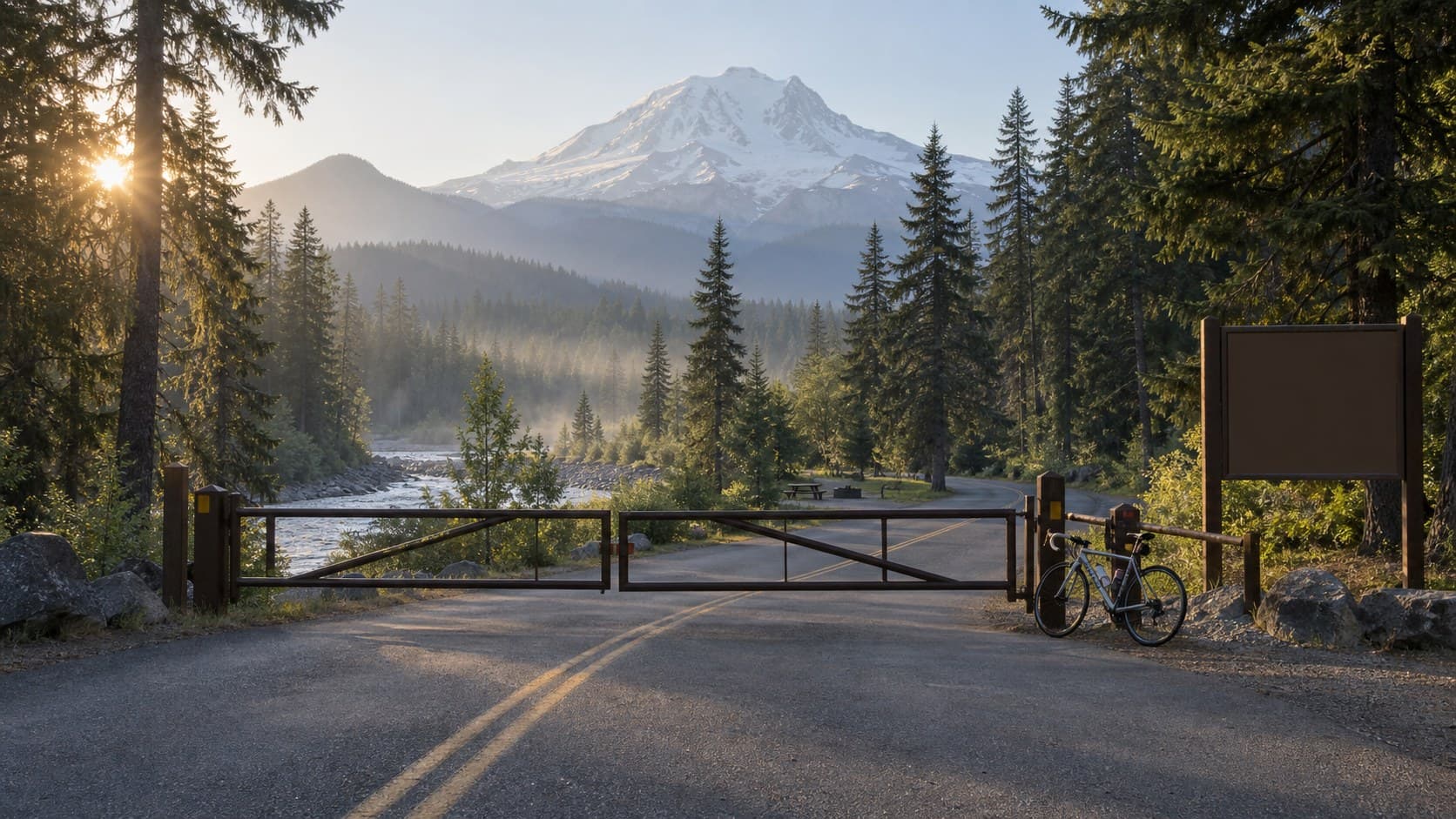
Rendering of the Sunrise Road gate closed at the White River Campground junction, a bicycle leaning on the post and Mount Rainier above the trees

Outdoors & River/September 15, 2026

Enumclaw to Sunrise: the highest drive in the park, and the week you cannot drive it

Fifty miles and 6,400 feet, with the fall color and the first snow due any day. As of the Park Service's September 8 update, Sunrise Road is open to feet and bicycles only. What NPS says this week, what the drive normally is, and how to know the moment the gate opens.

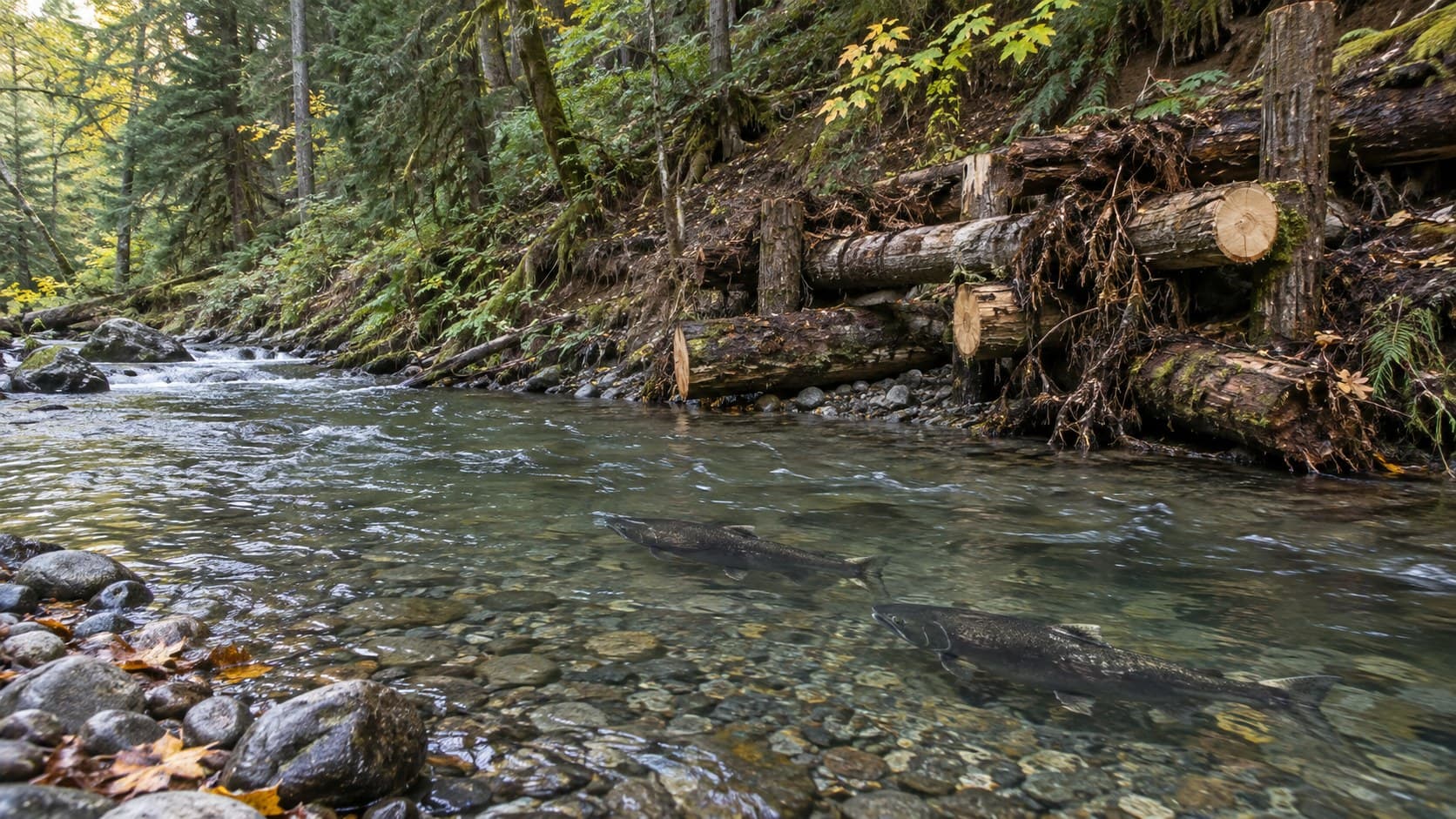
Rendering of Boise Creek in October: two Chinook salmon holding over gravel below an engineered logjam on a forested bank

Outdoors & River/September 15, 2026

The ditch that outfishes the river: a field guide to Boise Creek's salmon

A straightened farm stream south of town holds the densest wild Chinook and steelhead spawning in the thousand square mile Puyallup watershed. Here is who comes back, when, and where to stand without wrecking it.

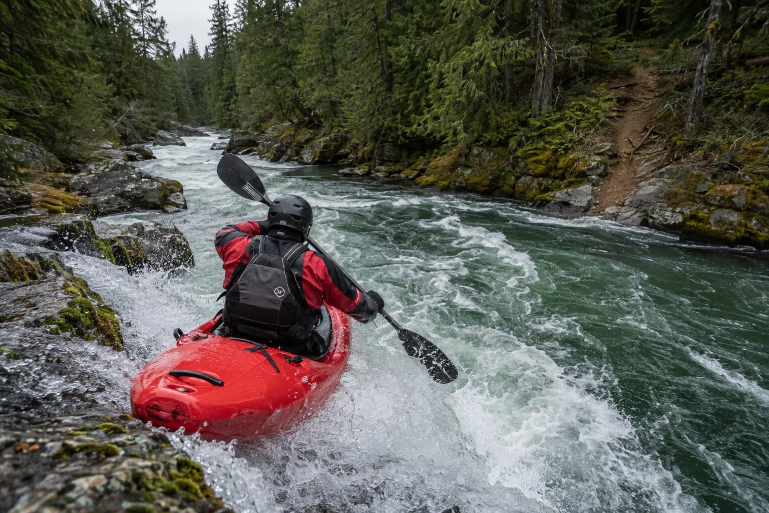
A whitewater kayaker in a red boat dropping into a rapid on a cold green river between forested rock banks

Outdoors & River/September 14, 2026

The Green River Gorge: the canyon the coal towns looked down into

A river sawed 300 feet into Eocene sandstone a few miles north of Enumclaw. Then came the mines, a one-lane bridge, a resort, a state law, and a swimming hole that keeps killing people.

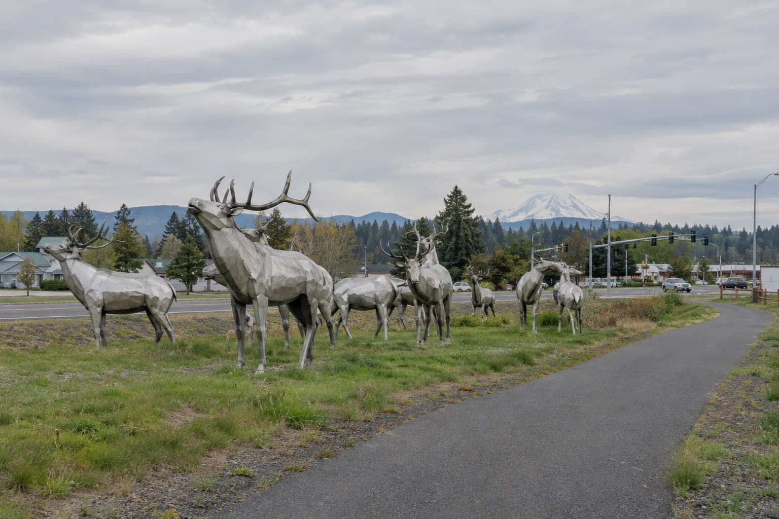
Nine life-size stainless steel elk sculptures on the grass beside the Foothills Trail in Enumclaw, with Mount Rainier on the horizon

Outdoors & River/September 14, 2026

The elk came by cattle car: a field guide to Enumclaw's herd

Eighty animals arrived from Yellowstone on New Year's Eve, 1912. Their descendants are in the fields between SR 164 and SR 410 every winter, if you know when to look.

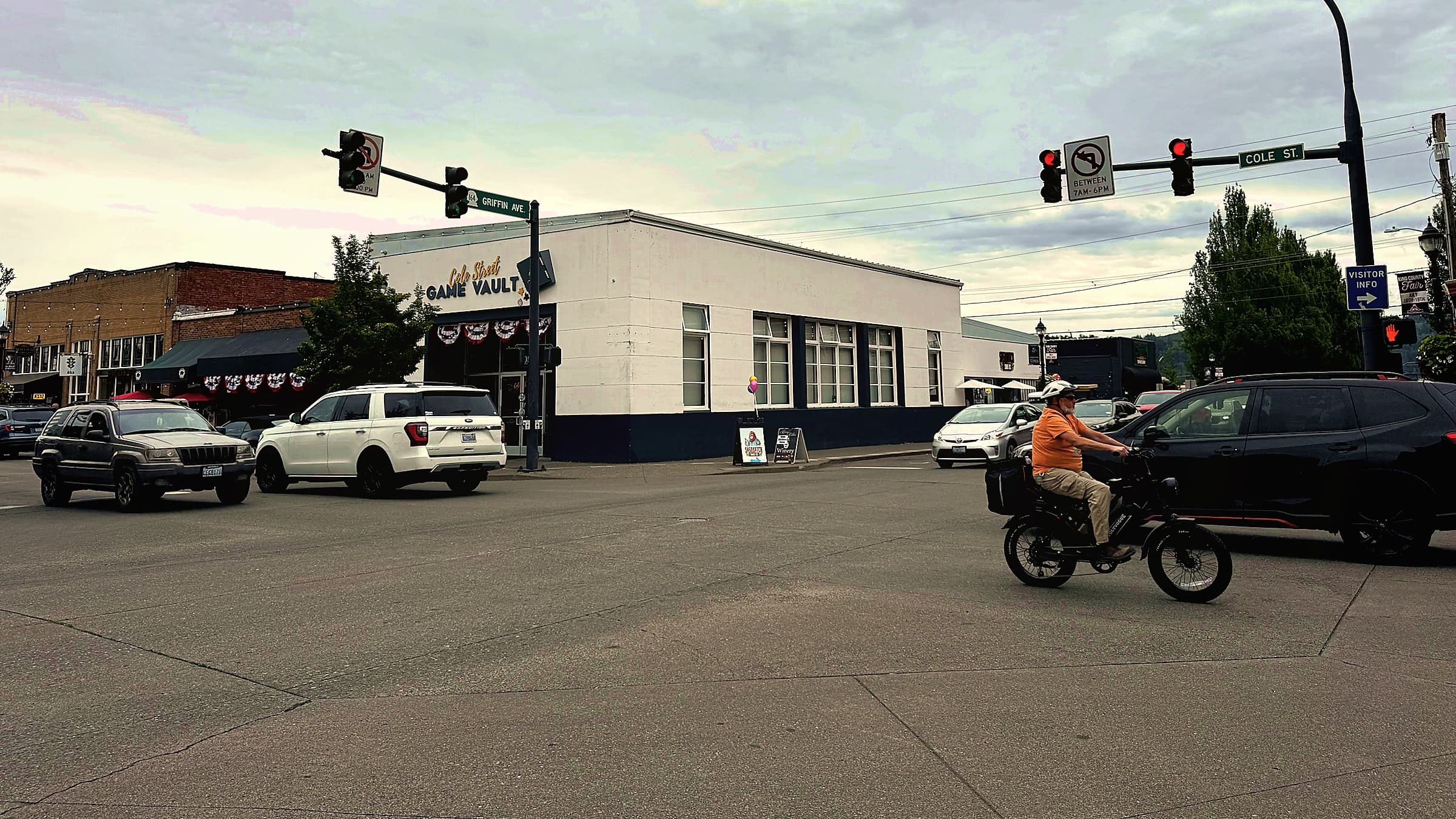
The traffic signal at Cole Street and Griffin Avenue in downtown Enumclaw on an overcast day, with cars and a cyclist crossing

Outdoors & River/September 14, 2026

Forty miles and one road: the honest drive from Enumclaw to Crystal Mountain

How far it really is, where SR 410 climbs, what WSDOT means by chains, and why the pass beyond the ski turnoff closes for half the year while the resort does not.

Enumclaw.com Newsletter

Get the latest Enumclaw happenings direct in your inbox

A short weekly email with the latest Enumclaw happenings, things to do, places to go, and useful local notes. No filler, no spam, unsubscribe anytime.